A full color archival version of this map is available from the Kent State University Institutional Repository.
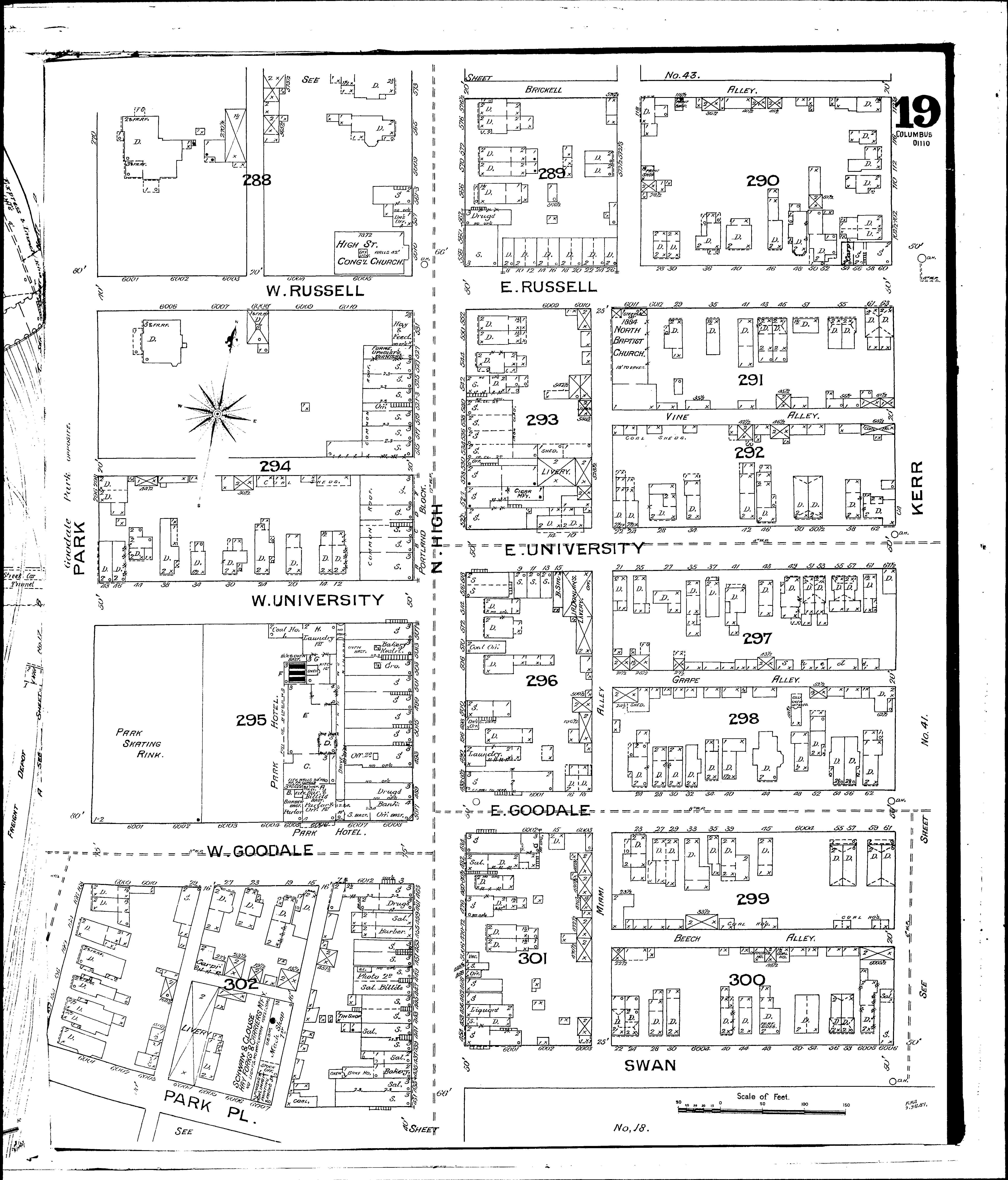
Locations: High St. Congreg. Church Neil Block North Baptist Church Park Hotel Park Skating Rink Portland Block Schwan & Clouse, Hay Fork Mfy
Streets: Goodale, E [1-62] Goodale, W [1-10] High, N [431-578] Kerr [2-120] Miami Alley [1-118] Park [Park Place to Brickell] Park, Place, North Side Russell, E [1-63] Russell, W [1-48] Swan [2-64] University, E [1-62] University, W [1-48]