A full color archival version of this map is available from the Kent State University Institutional Repository.
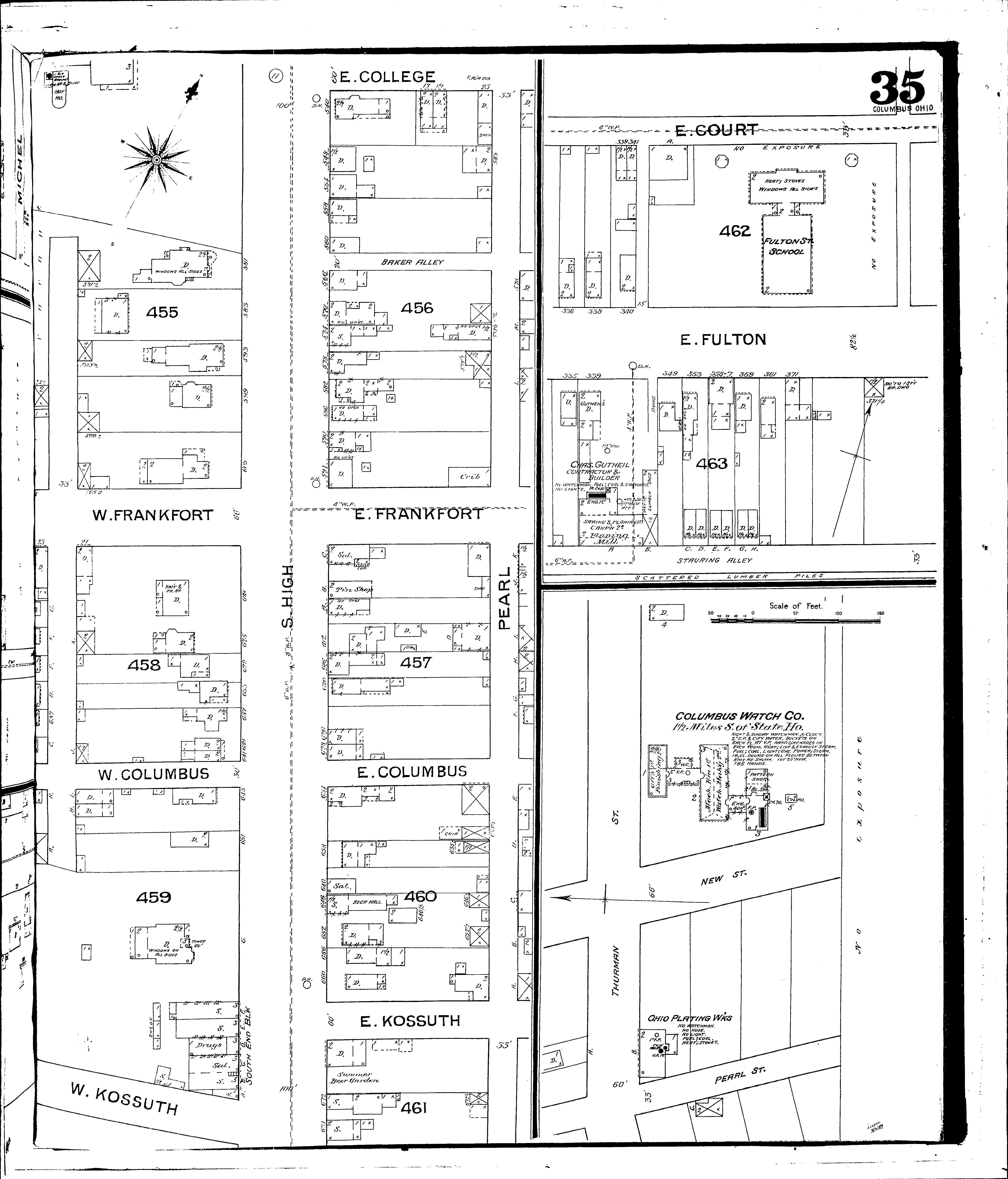
Locations: Columbus Watch Company Fulton Street School Ohio Plating Works South End Block
Streets: College, E [1-27] Columbus, E [1-24] Columbus, W [1-24] Court, E [330-365] Frankfort, E [1-26] Frankfort, W [1-24] Fulton E [331-380] High, S [340-675] Kossuth, E [1-24] Kossuth, W [1-24] Pearl, S [580-715] Stauring Alley [345-380] Wall, S [550-647]