County: Franklin Co.
City: Columbus
Date: 1921-Dec. 1951 vol. 6A, 1922-June 1951
Currently viewing image: 28 of 39
Previous -
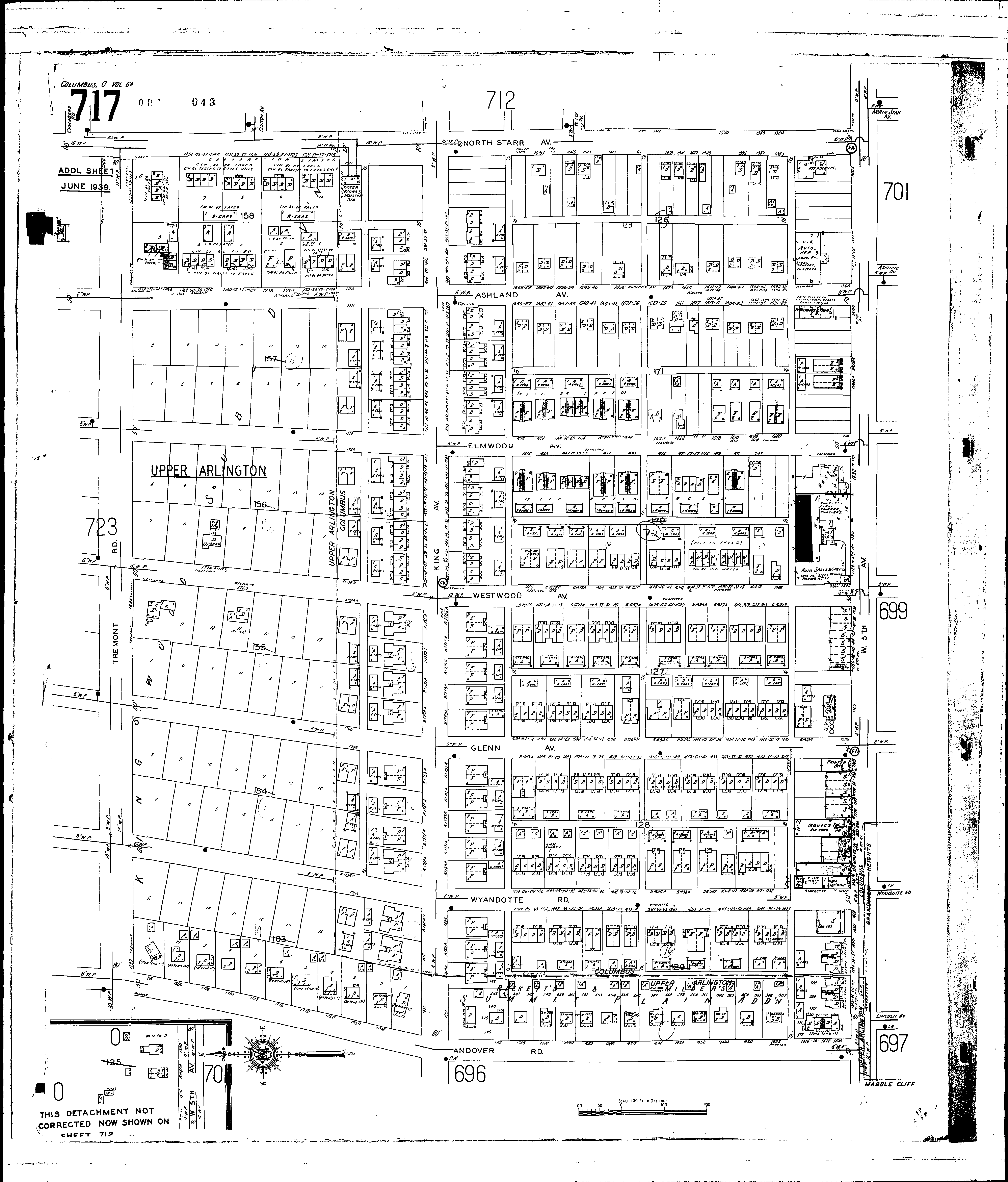
NextCurrent sheet label: 717
Jump to sheet label:
Print map from PDF
Download full image
Download current view
Streets:Andover Road [1610-1828]
Ashland Ave [1541-1784]
Elmwood Ave [1572-1799]
Fifth Ave., W [1600-1858]
King Ave [1566-1839]
North Starr Ave [1551-1799]
Tremont Road [1551-1799]
Westwood Ave [1576-1799]
Wyandotte Road [1600-1819]
Andover Road, at Upper Arlington [1610-1844]
Ashland Ave [1541-1722]
Ashland Ave., at Upper Arlington [1723-1810]
Chambers Road, at Upper Arlington
Clinton Ave., at Upper Arlington
Elmwood Ave [1572-1729]
Elmwood Ave., at Upper Arlington [1730-1819]
Fifth Ave., W [1550-1840]
Fifth Ave., W., at Upper Arlington [1842-1858]
Glenn [1576-1747]
Glenn Ave., at Upper Arlington [1748-1835]
King Ave [1540-1819]
King Ave., at Upper Arlington [1820-1829]
North Star Ave [1550-1713]
North Star Ave., at Upper Arlington [1714-1799]
Seventh Ave., W
Sherman Ave., at Upper Arlington
Tremont Road, at Upper Arlington [1544-1797]
Westwood Ave [1576-1739]
Westwood Ave., at Upper Arlington [1740-1825]
Wyandotte Road [1600-1757]
Wyandotte Road, at Upper Arlington [1758-1841]