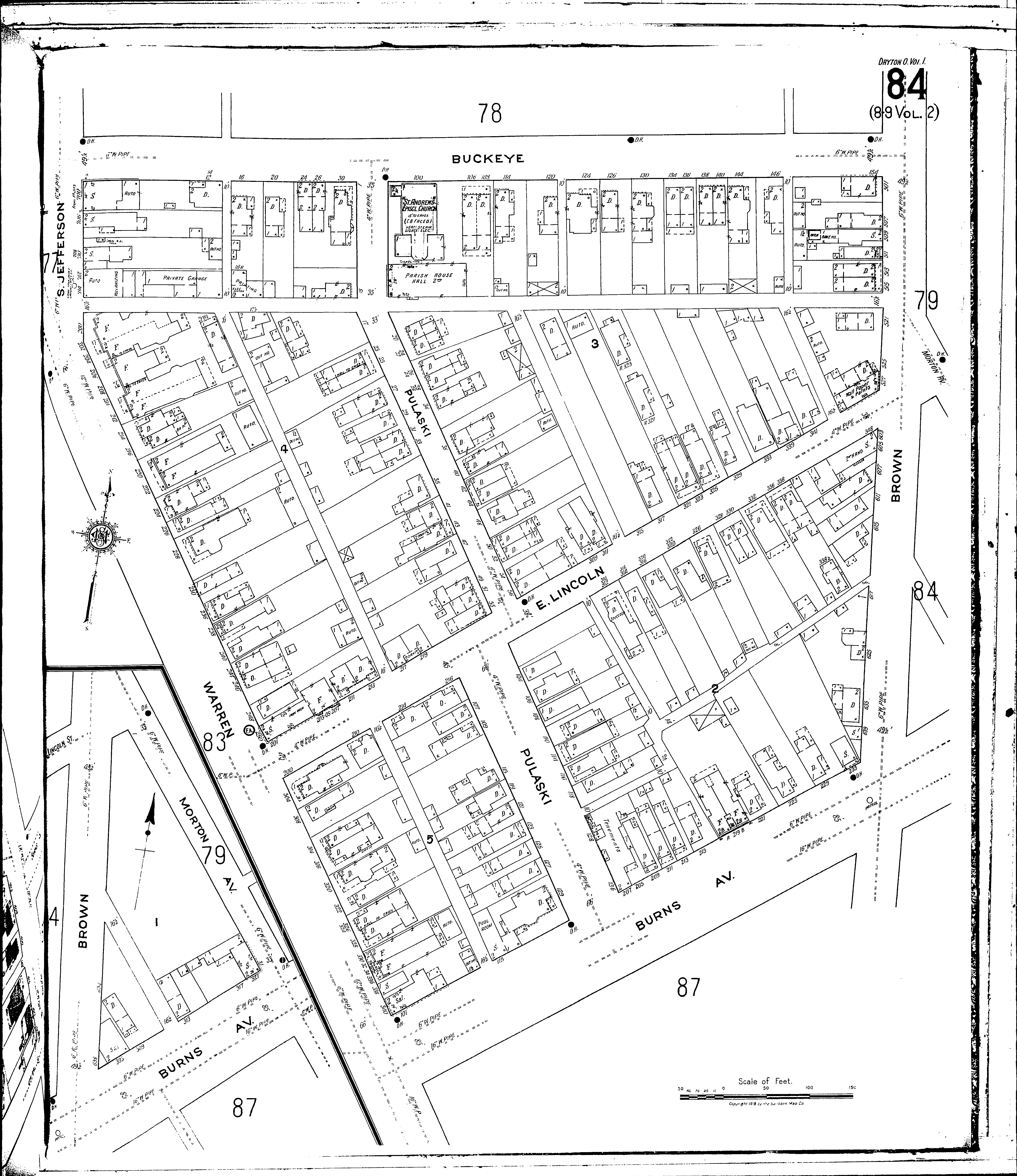
County: Montgomery Co.
City: Dayton
Date: 1918-1932 vol. 1, 1918
Currently viewing image: 89 of 110
Previous -
NextCurrent sheet label: 84
Print map from PDF
Download full image
Download current view
A
full color archival version of this map is available from the Kent State University Institutional Repository.
Locations:St. Andrews Episcopal Church
Streets:Brown [501-527]
Brown [600-639]
Buckeye [2-158]
Burns Ave [101-321]
Jefferson, S [700-714]
Lincoln, E [200-349]
Morton Ave [1-41]
Pulaski [1-136]
Warren [200-340]