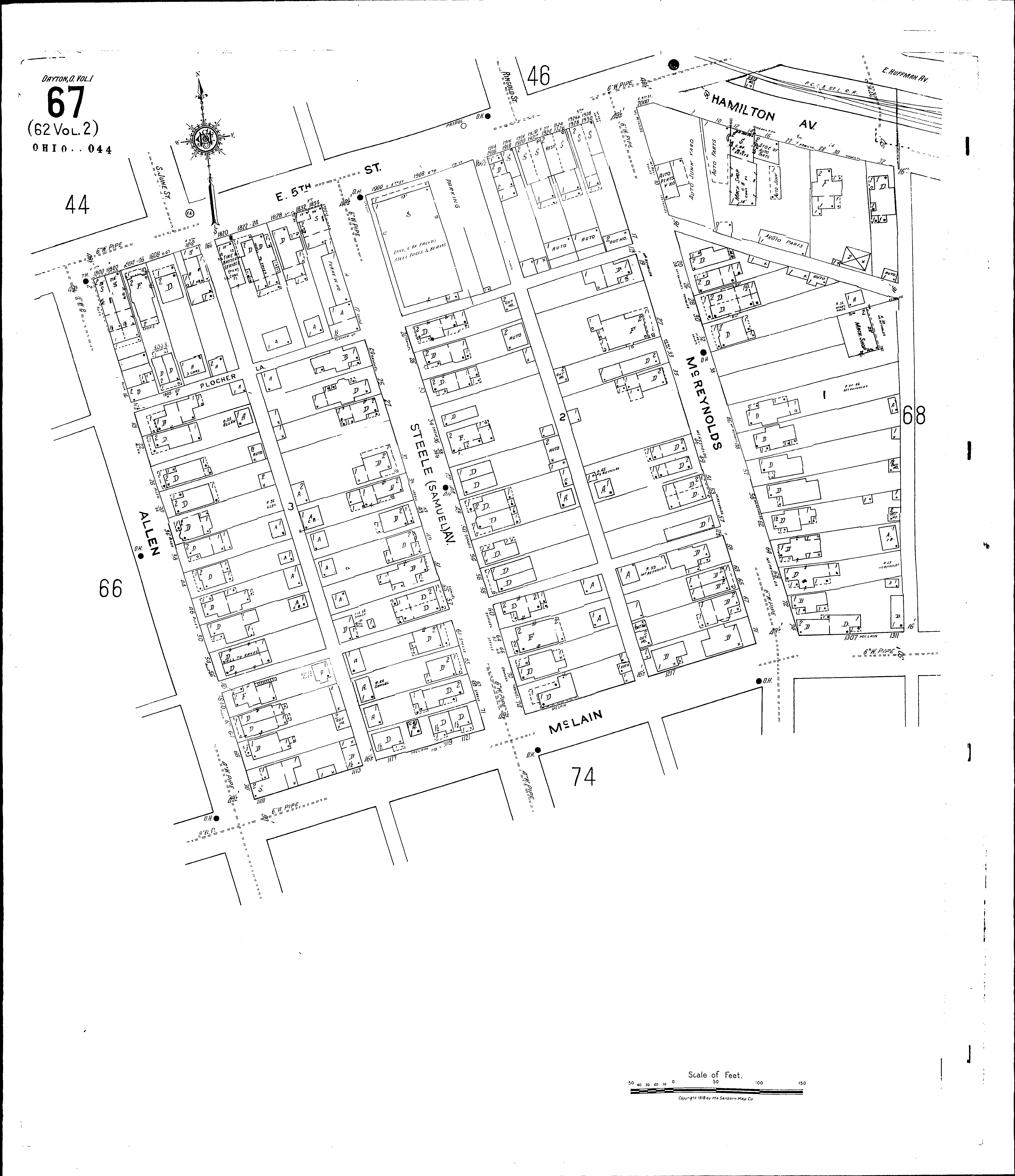
County:
Montgomery Co.
City:
Dayton
Date:
1918-Dec. 1950 vol. 1, 1918-Oct. 1950
Currently viewing image:
73 of 109
Previous
-
Next
Current sheet label:
67
Jump to sheet label:
Print map from PDF
Download full image
Download current view
A
full color archival version
of this map is available from the Kent State University Institutional Repository.
Streets:
Plocher Lane
Allen [2-74]
Fifth, E [1800-2002]
Hamilton Ave [1-32]
McLain [1101-1313]
McReynolds [1-78]
Steele Ave [1-78]