County: Montgomery Co.
City: Dayton
Date: 1918-Dec. 1950 vol. 1, 1918-Oct. 1950
Currently viewing image: 90 of 109
Previous -
NextCurrent sheet label: 84
Jump to sheet label:
Print map from PDF
Download full image
Download current view
A
full color archival version of this map is available from the Kent State University Institutional Repository.
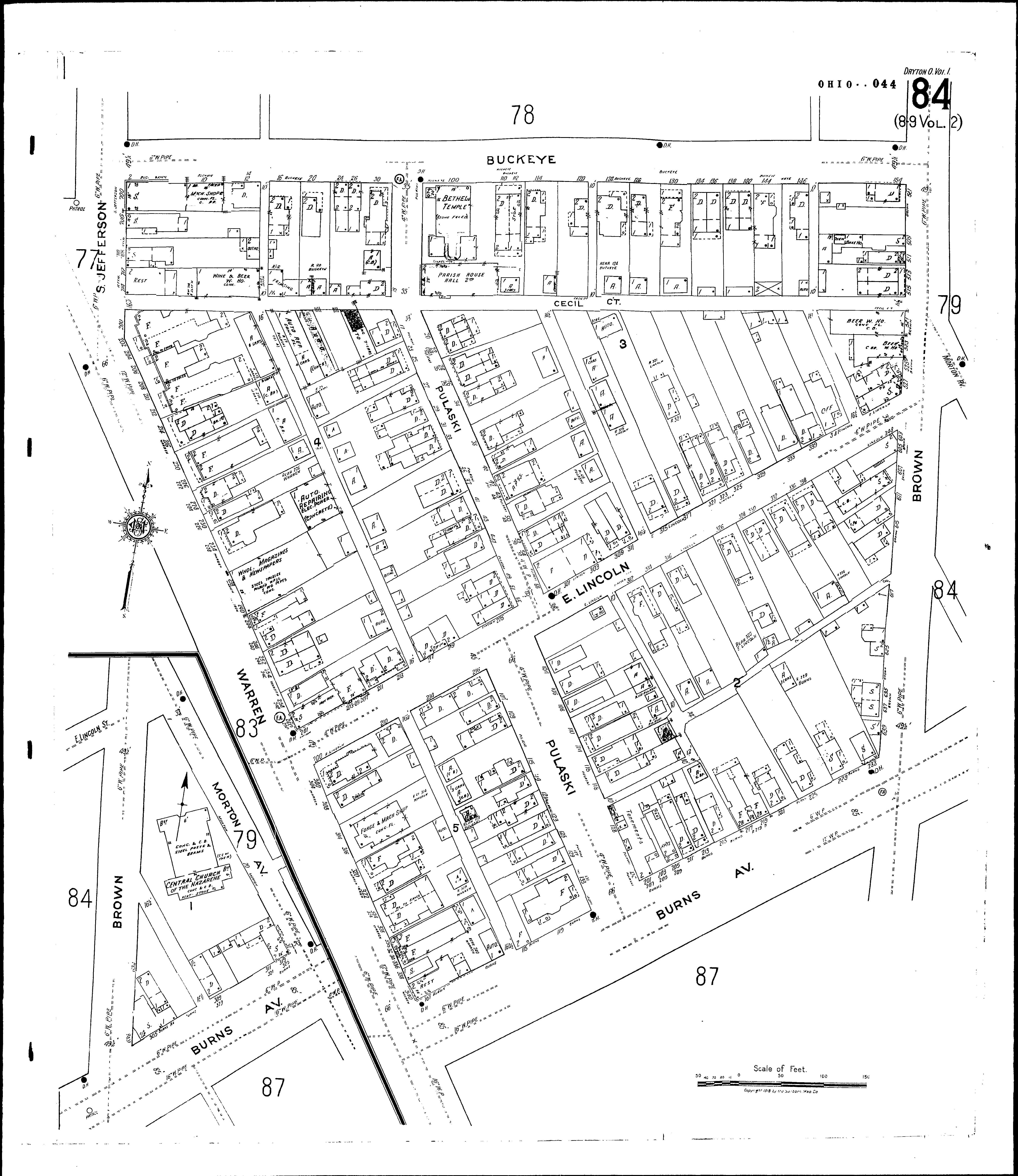
Locations:Central Church of the Nazarene
Bethel Temple
Streets:Brown [501-535]
Brown [600-645]
Buckeye [2-158]
Burns Ave [101-329]
Cecil Court
Jefferson, S [700-718]
Lincoln, E [200-349]
Morton Ave [1-35]
Pulaski [1-140]
Warren [200-344]