County: Montgomery Co.
City: Dayton
Date: 1918-Dec. 1950 vol. 1, 1918-Oct. 1950
Currently viewing image: 94 of 109
Previous -
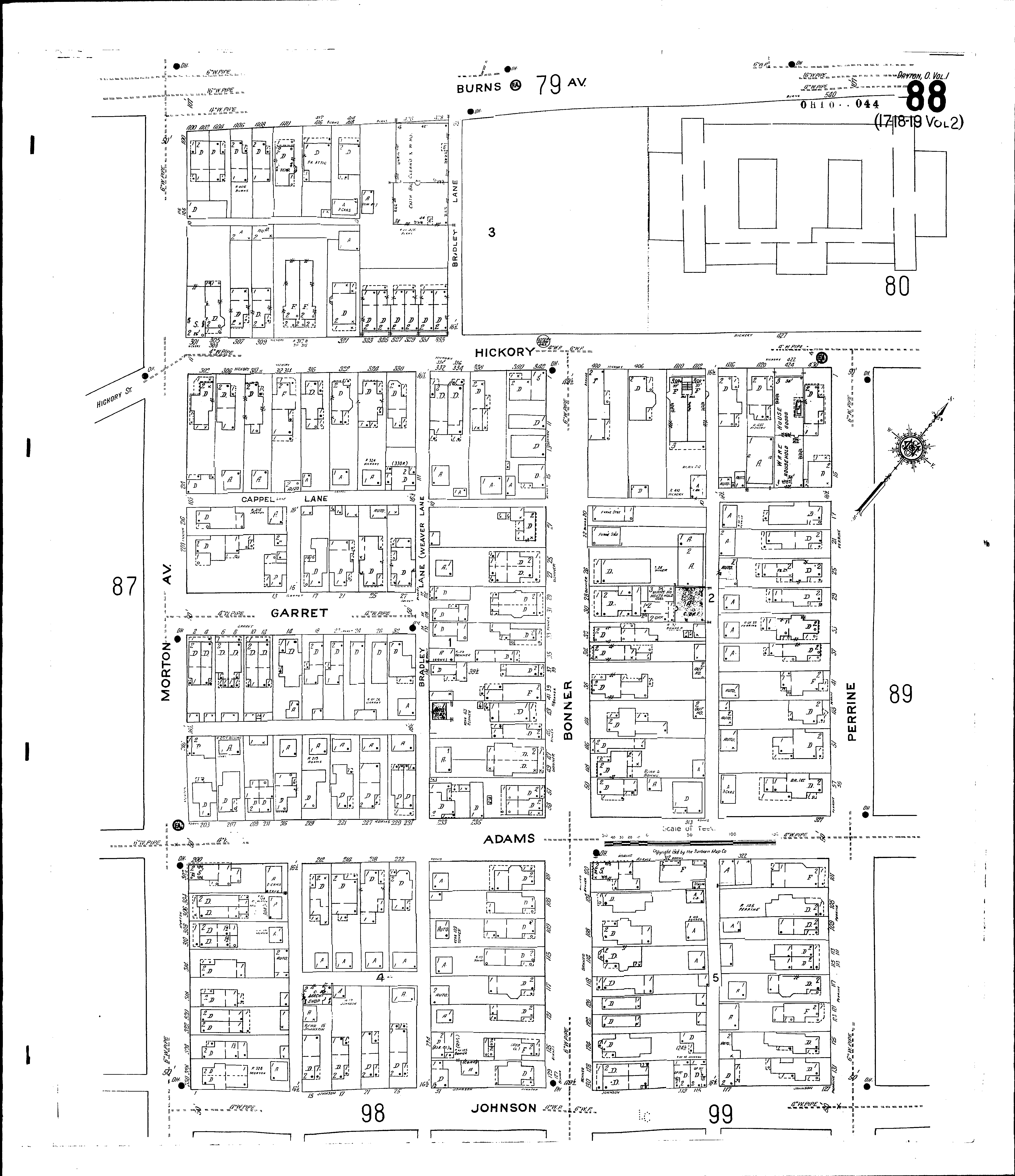
NextCurrent sheet label: 88
Jump to sheet label:
Print map from PDF
Download full image
Download current view
A
full color archival version of this map is available from the Kent State University Institutional Repository.
Streets:Adams [200-329]
Bonner [1-134]
Bradley Lane [1-80]
Burns Ave [400-532]
Cappel Lane
Garret [1-38]
Hickory [300-433]
Johnson [1-129]
Morton Ave [100-330]
Perrine [1-135]