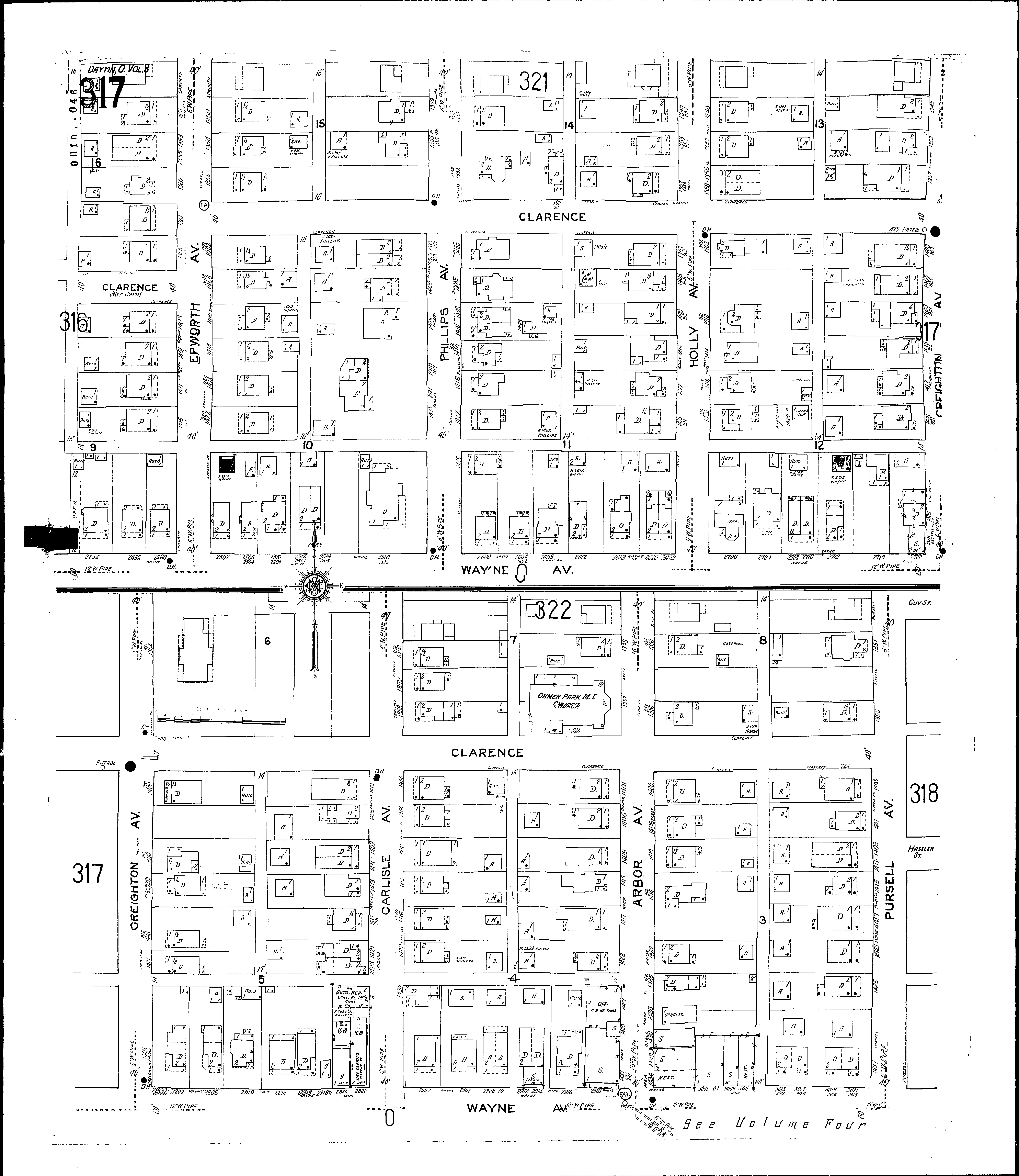
County: Montgomery Co.
City: Dayton
Date: 1918-Dec. 1950 vol. 3, 1918-Nov. 1950
Currently viewing image: 21 of 112
Previous -
NextCurrent sheet label: 317
Jump to sheet label:
Print map from PDF
Download full image
Download current view
A
full color archival version of this map is available from the Kent State University Institutional Repository.
Locations:Ohmer Park Methodist Episcopal Church
Streets:Arbor Ave [1348-1439]
Carlisle Ave [1350-1435]
Clarence [1714-2325]
Creighton Ave [1349-1357]
Creighton Ave [1400-1439]
Epworth Ave [1350-1439]
Holly Ave [1348-1439]
Phillips Ave [1348-1435]
Pursell Ave [1351-1437]
Wayne Ave [2454-2920]
Wayne Ave [3001-3021]