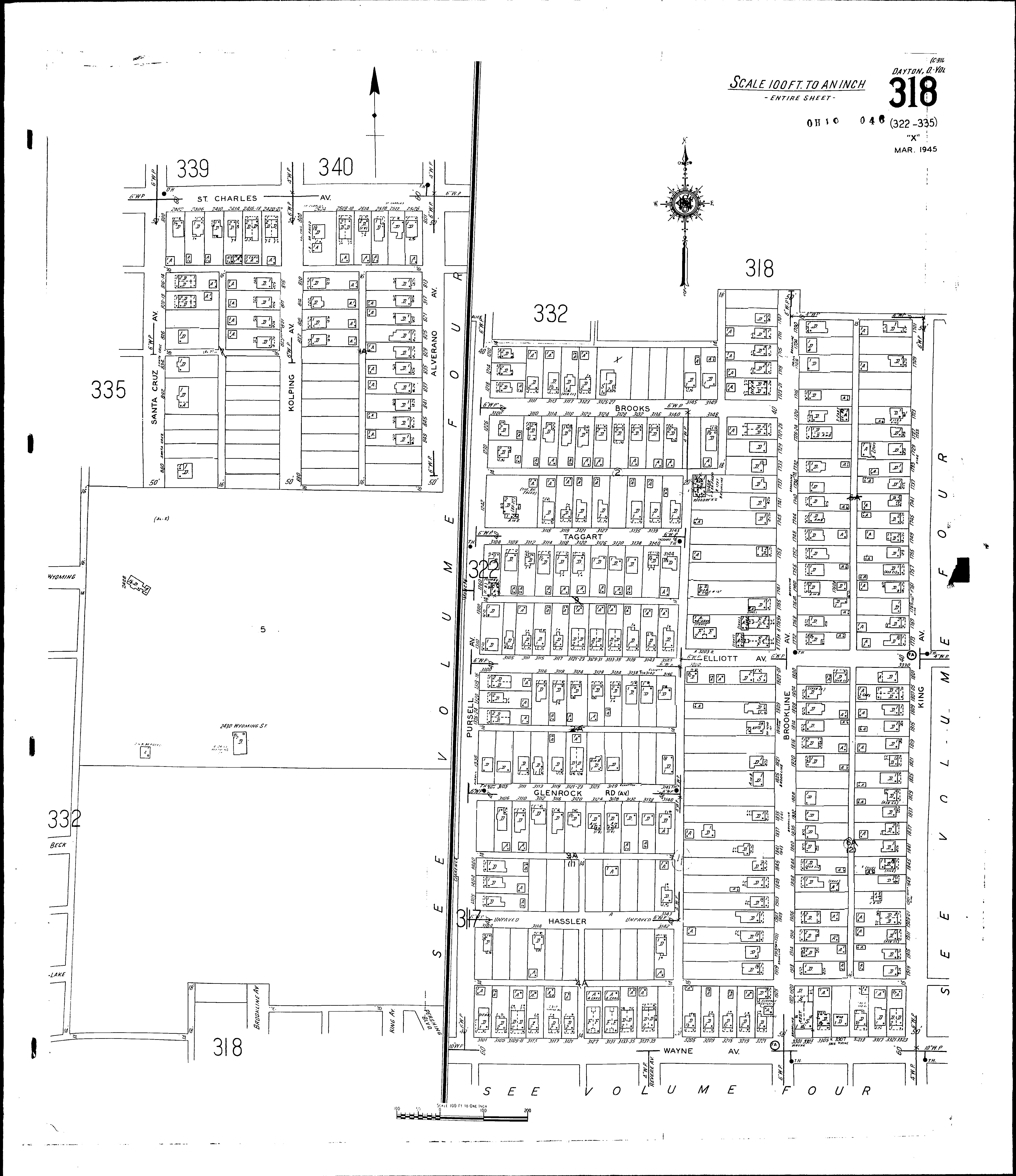
County: Montgomery Co.
City: Dayton
Date: 1918-Dec. 1950 vol. 3, 1918-Nov. 1950
Currently viewing image: 22 of 112
Previous -
NextCurrent sheet label: 318
Jump to sheet label:
Print map from PDF
Download full image
Download current view
A
full color archival version of this map is available from the Kent State University Institutional Repository.
Streets:Alverno Ave [801-849]
Brookline Ave [1700-1773]
Brooks [3100-3205]
Elliot Ave [3325-3330]
Glenrock Ave [3130-3143]
King Ave [1701-1773]
Kolping [800-881]
Pursell Ave [1210-1310]
St. Charles Ave [2400-2526]
Santa Cruz Ave [800-880]
Taggart [3100-3145]
Kolping Ave [800-881]
Brookline Ave [1800-1929]
Elliot Ave [3100-3324]
Glenrock Ave [3100-3129]
Guy [3100-3129]
Hassler [3100-3249]
King Ave [1801-1935]
Pursell Ave [1316-1436]
Wayne Ave [3101-3323]