A full color archival version of this map is available from the Kent State University Institutional Repository.
Locations: First Congregational Christian Church
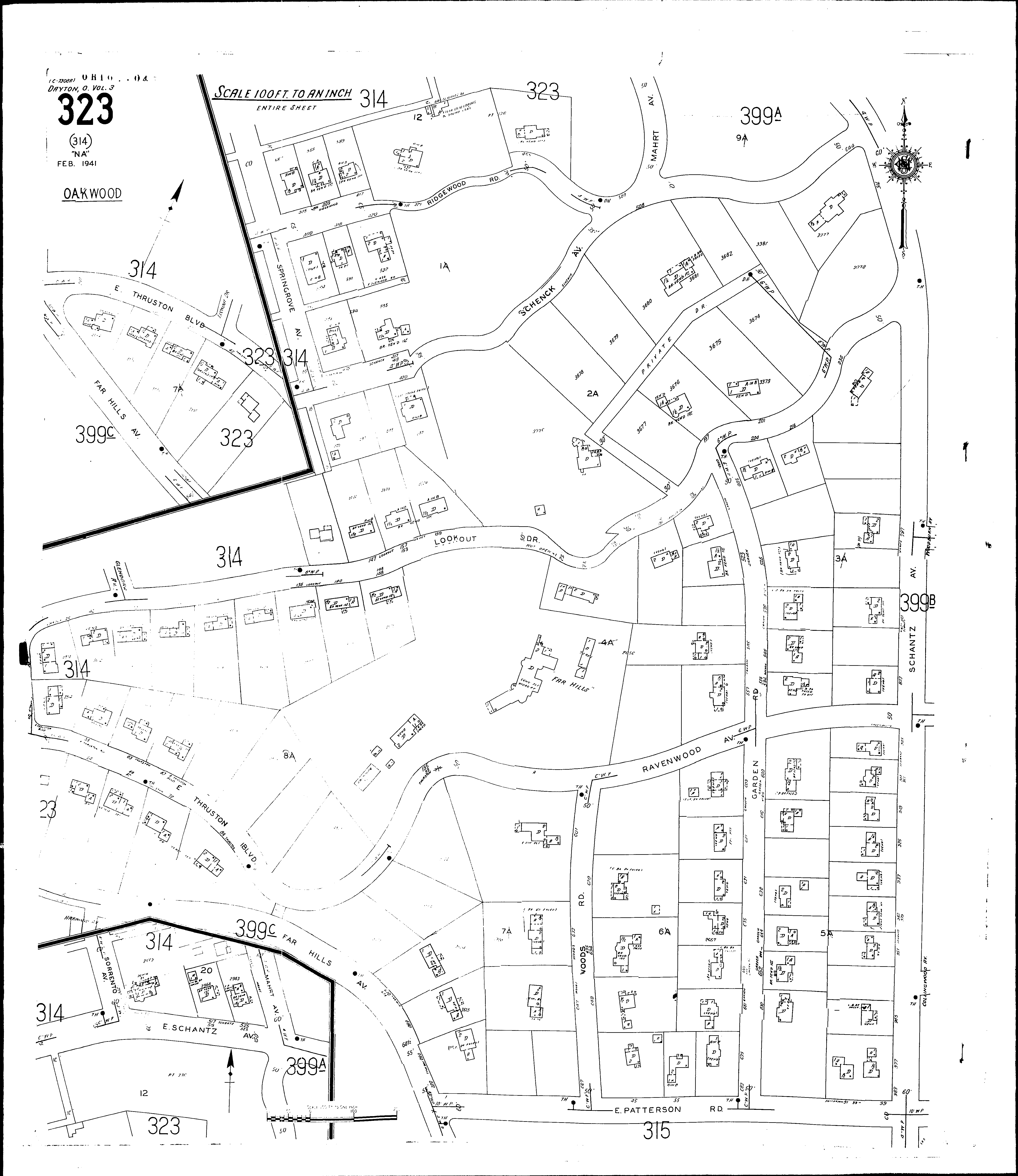
Streets: Far Hills Ave., at Oakwood [500-524] Far Hills Ave., at Oakwood [526-692] Garden Road, at Oakwood [500-685] Mahrt Ave., at Oakwood Patterson Road, at Oakwood [1-99] Ravenwood Ave., at Oakwood [1-98] Ridgewood Road, at Oakwood [400-465] Schantz Ave., at Oakwood [715-983] Schantz Ave., E., at Oakwood [500-515] Schenck Ave., at Oakwood [400-507] Schenck Ave., at Oakwood [600-644] Sorrento Ave., at Oakwood Springrove Ave., at Oakwood Thruston Blvd, E., at Oakwood [2-34] Thruston Blvd, E., at Oakwood [35-94] Woods Road, at Oakwood [600-669] Anderson Edgar Ave [201-431] Erie Ave [2-60] Gunckel Ave [301-335] Gunckel Ave [400-439] Medford [2-12] Medford [100-155] Utah Court [1-50] Volkenand [1-160] Volkenand [200-234] Ware Ave [1-15] Wayne Ave [1900-2055] Wayne Ave [2100-2134]