County: Montgomery Co.
City: Dayton
Date: 1918-Dec. 1950 vol. 3, 1918-Nov. 1950
Currently viewing image: 43 of 112
Previous -
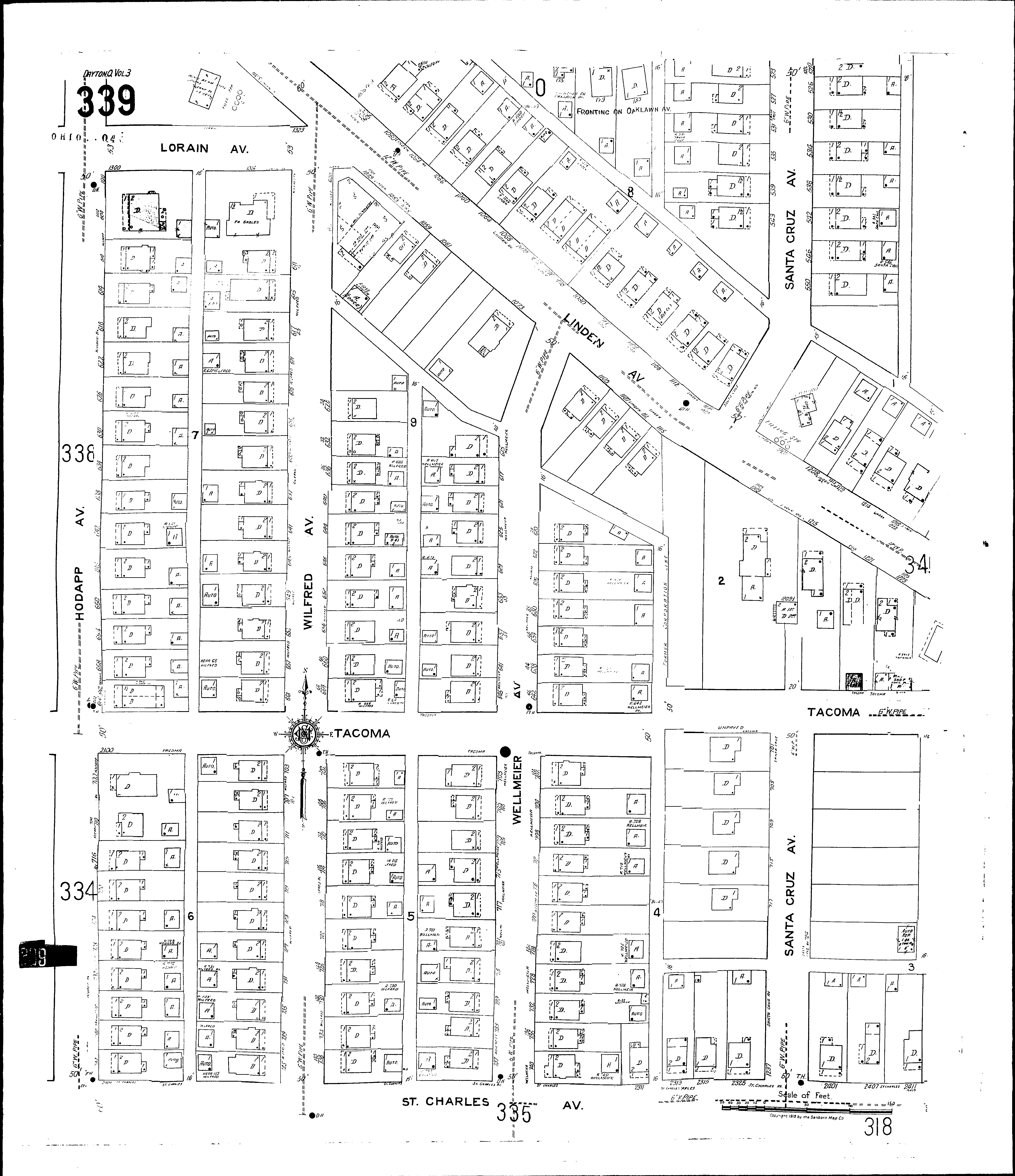
NextCurrent sheet label: 339
Jump to sheet label:
Print map from PDF
Download full image
Download current view
A
full color archival version of this map is available from the Kent State University Institutional Repository.
Streets:Hodapp Ave [600-744]
Linden Ave [1001-1021]
Linden Ave [1022-1225]
Lorain Ave [1300-1325]
Oaklawn Ave [175-183]
St. Charles Ave [2101-2413]
Santa Cruz Ave [522-739]
Tacoma [2100-2413]
Wellmeier Ave [600-741]
Wilfred Ave [600-745]