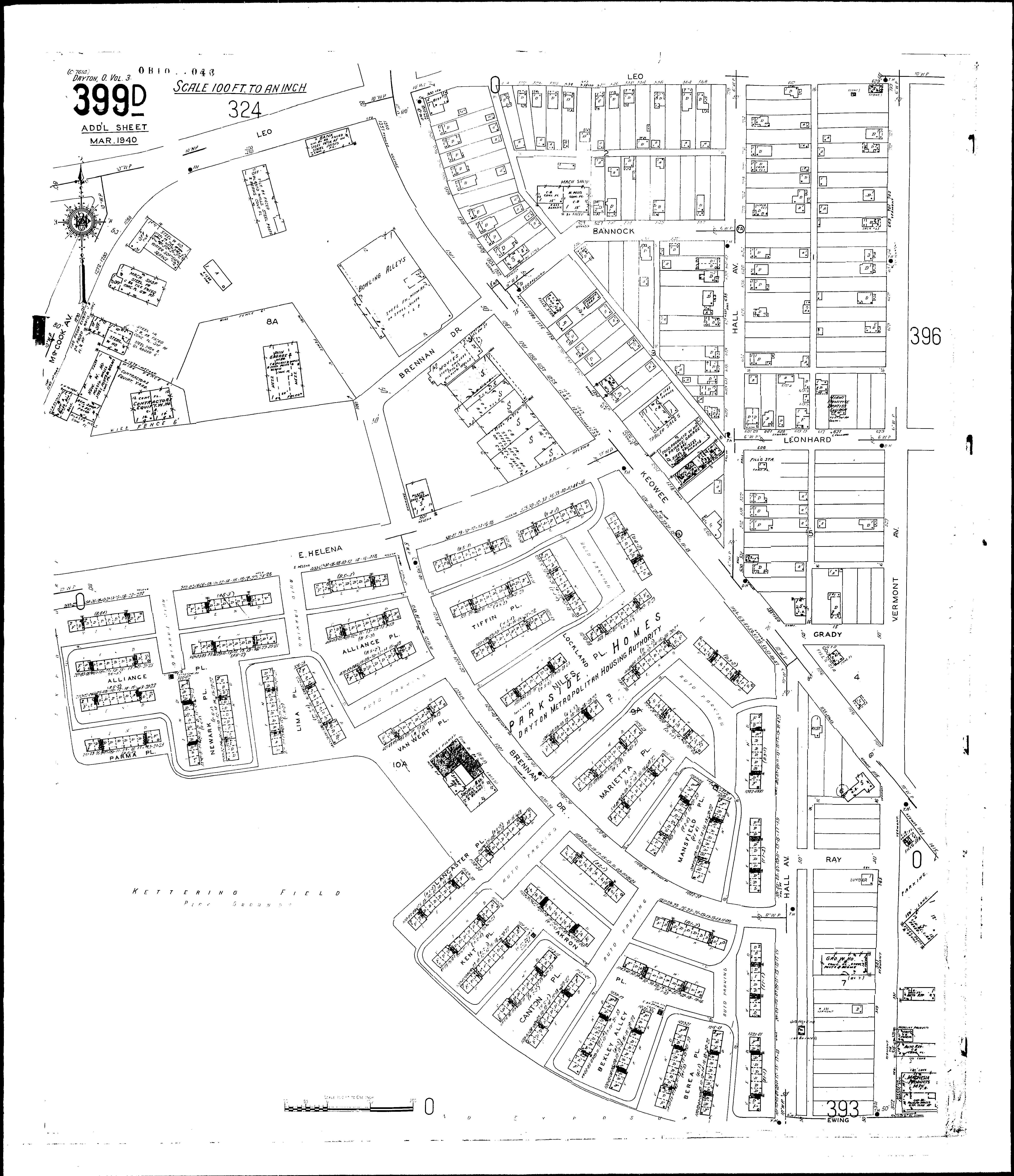
Streets: Akron Place [1000-1139] Alliance Place [200-419] Bannock [500-559] Berea Place [100-125] Bexley Alley [100-125] Brennan Drive Canton Place [100-125] Ewing [401-425] Grady Hall Ave [100-735] Helena [200-547] Kent Place [100-125] Keowee [1100-1351] Lancaster Place [100-219] Leo [500-630] Leo [S. S., W. of Keowee] Leonhard [600-629] Lima Place [1200-1225] Lockland Place [1000-1241] McCook Ave Mansfield Place [300-325] Marietta Place [300-325] Newark Place [1200-1225] Niles Place [300-425] Parma Place [200-225] Ray [Hall Ave. to Vermont Ave.] Tillin Place [500-525] Van Wert Place Vermont Ave [301-735] Helena, E [200-547]