County: Montgomery Co.
City: Dayton
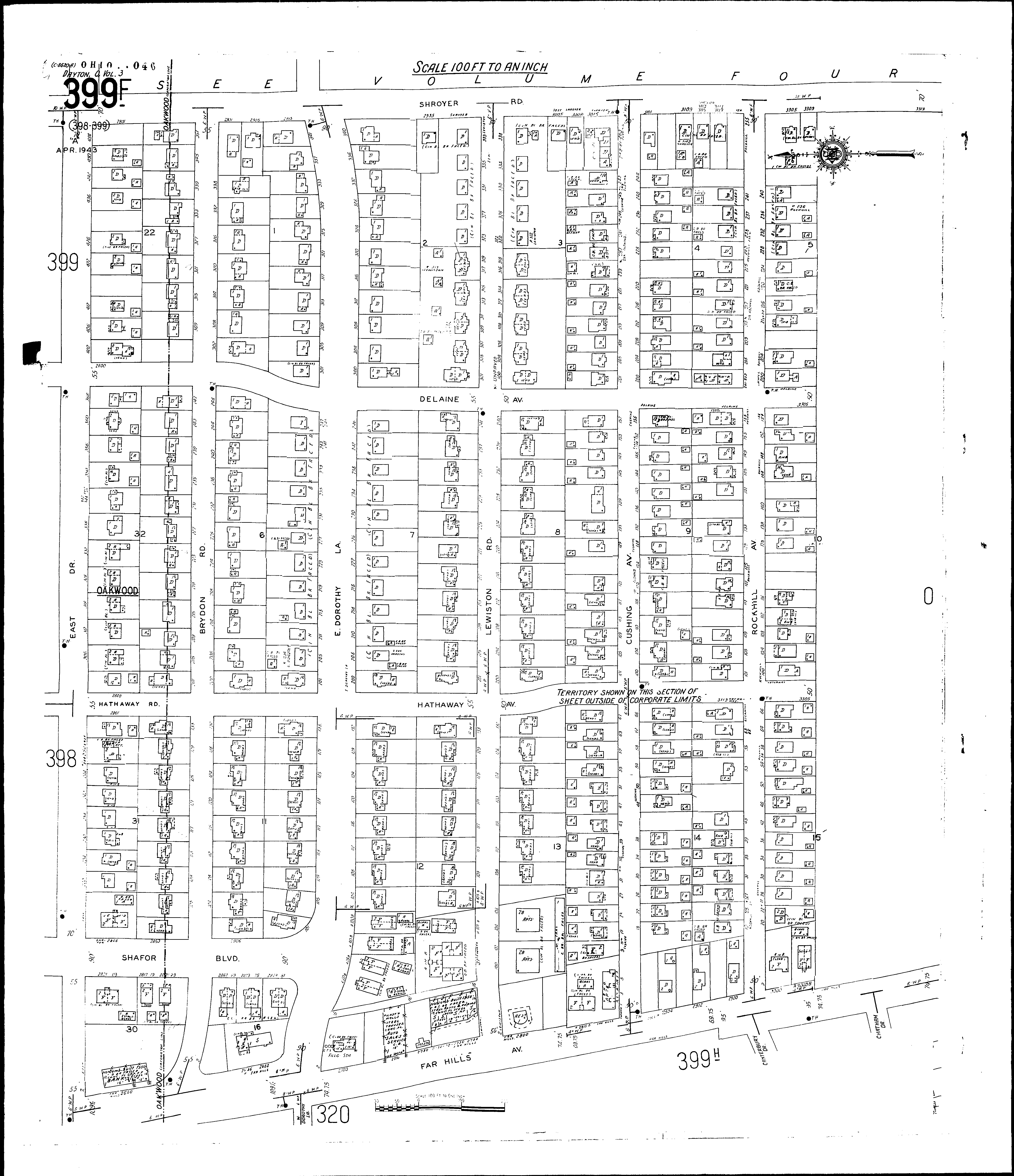
Date: 1918-Dec. 1950 vol. 3, 1918-Nov. 1950
Currently viewing image: 109 of 112
Previous -
NextCurrent sheet label: 399f
Jump to sheet label:
Print map from PDF
Download full image
Download current view
A
full color archival version of this map is available from the Kent State University Institutional Repository.
Streets:Brydon Road [1-352]
Canterbury Drive [1-20]
Chatham Drive [1-30]
Cushing Ave [1-256]
Delaine Ave [2800-3305]
Dorothy Lane, E [1-342]
East Drive, at Oakwood [2-454]
Far Hills Ave., at Oakwood [2600-2724]
Far Hills Ave., at Oakwood [2800-3105]
Hathaway Ave
Hathaway Road
Lewiston Road [1-356]
Rockhill Ave [1-256]
Shafor Blvd [2800-2881]
Shroyer Road [2801-3319]