County: Montgomery Co.
City: Dayton
Date: 1918-Dec. 1950 vol. 3, 1918-Nov. 1950
Currently viewing image: 111 of 112
Previous -
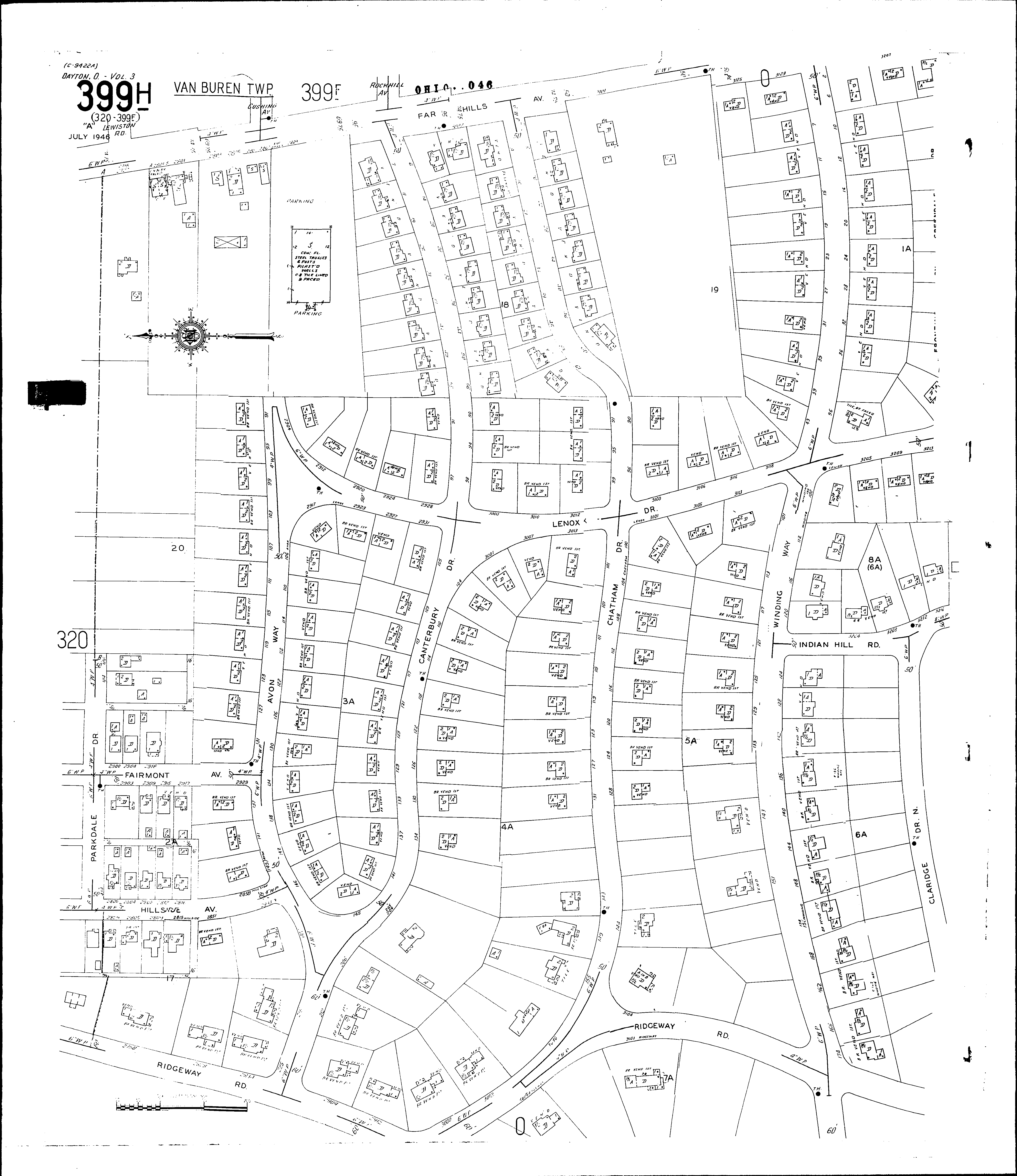
NextCurrent sheet label: 399h
Jump to sheet label:
Print map from PDF
Download full image
Download current view
A
full color archival version of this map is available from the Kent State University Institutional Repository.
Streets:Avon Way [90-225]
Canterbury Drive [1-226]
Chatham Drive [1-156]
Claridge Drive North
Fairmont Ave [2900-2929]
Far Hills Ave [2739-3257]
Greendale Drive [1-49]
Hillside Ave [2800-2833]
Indian Hill Road [3200-3217]
Lenox Drive [2900-3213]
Parkdale Drive [300-414]
Ridgeway Road [2750-3215]
Winding Way [1-174]