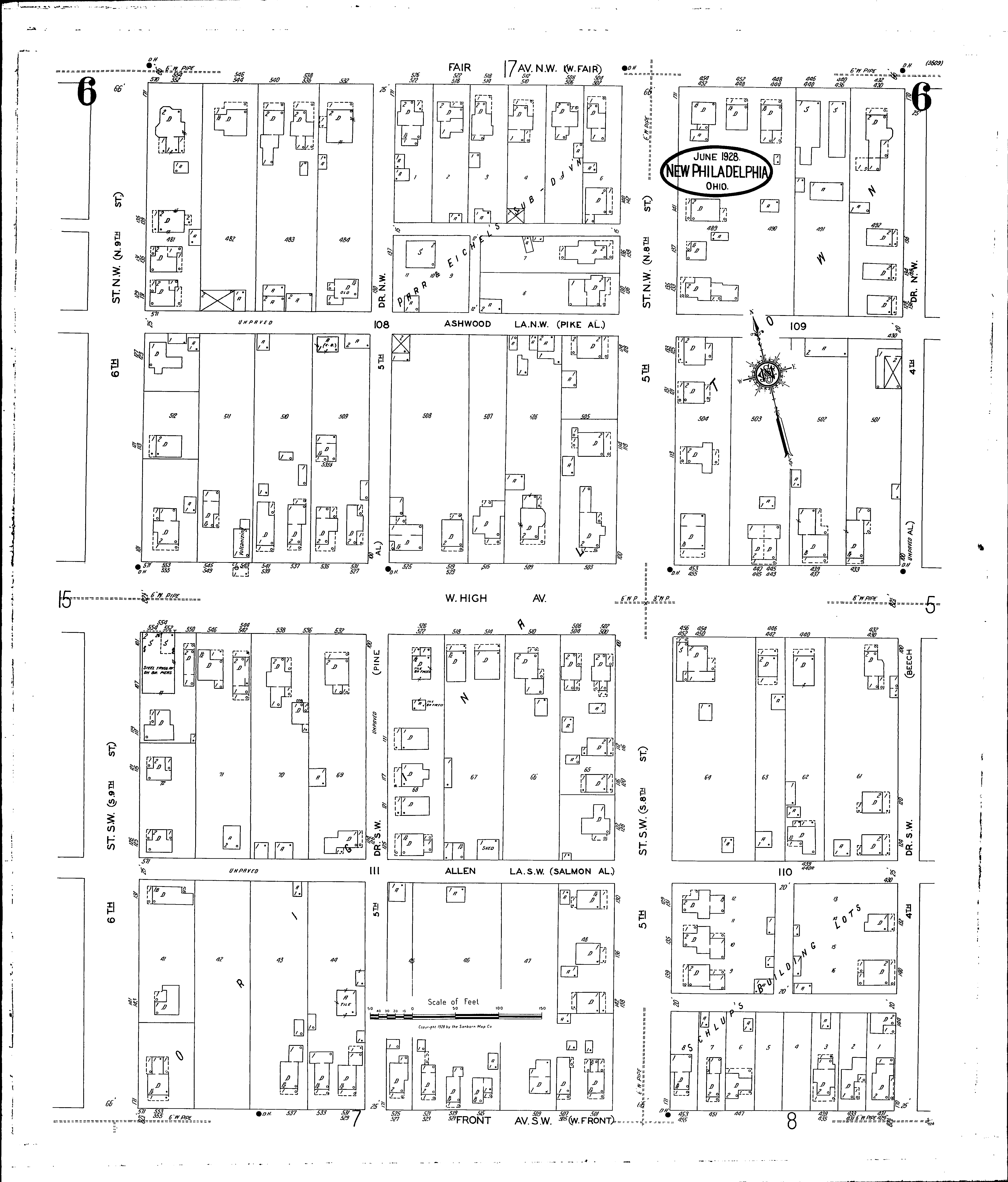
A full color archival version of this map is available from the Kent State University Institutional Repository.
Streets: Allen Lane S. W [430-571] Ashwood Lane N. W [430-571] Fair Ave. N. W [430-570] Fifth Drive N. W [100-171] Fifth Drive S. W [100-171] Fifth St. N. W [100-171] Fifth St. S. W [100-171] Fourth Drive N. W [100-170] Fourth Drive S. W [100-170] Front Ave. S. W [431-571] High Ave., W [430-571] Sixth St. N. W [101-171] Sixth St. S. W [101-171]
Additions: Parr & Eichels Subdivision Schlups Building