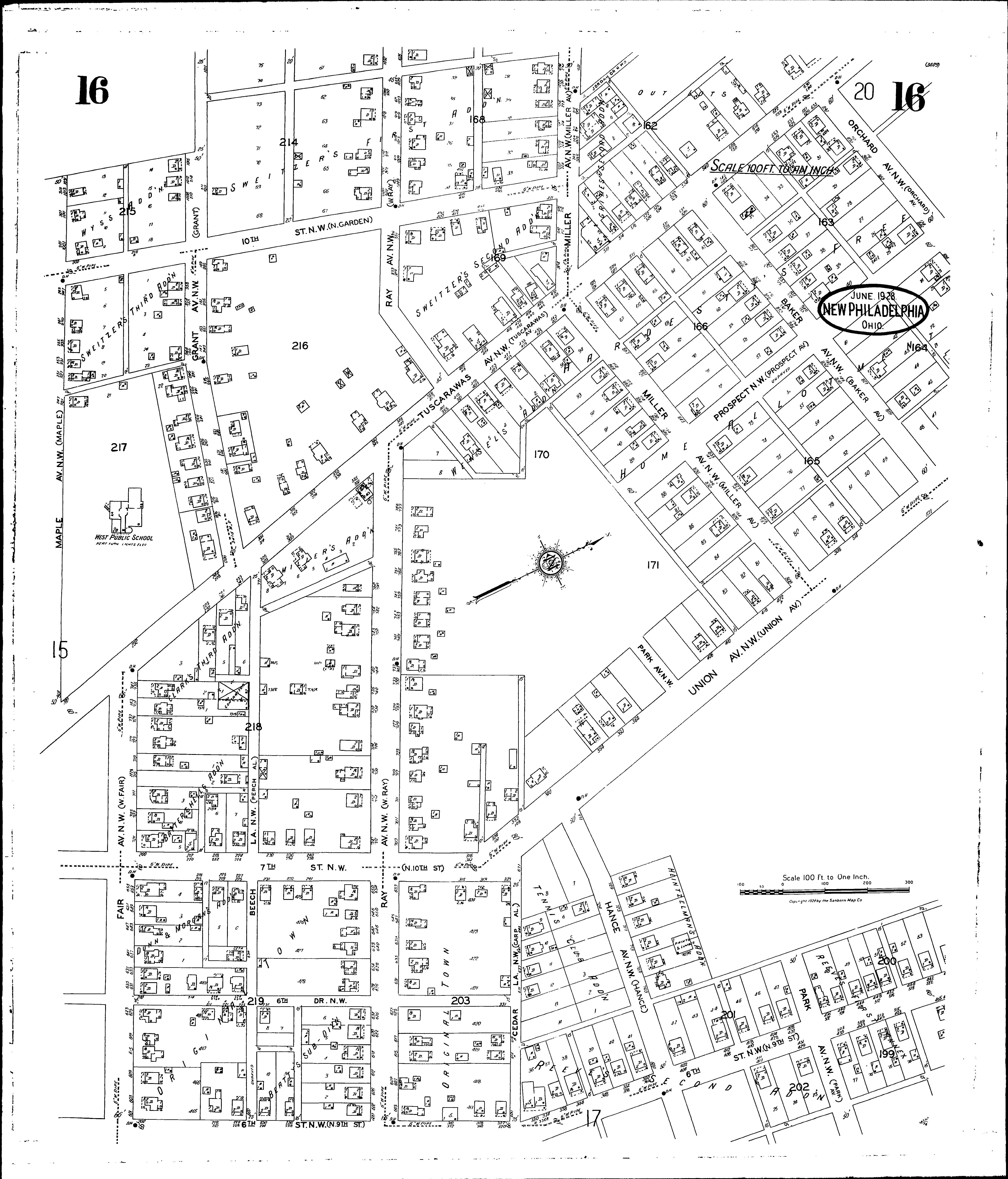
A full color archival version of this map is available from the Kent State University Institutional Repository.
Locations: West Public School
Streets: Baker Ave. N. W [800-871] Beech Lane N. W [600-771] Cedar Ave. N. W [600-671] Fair Ave. N. W [601-735] Grant Ave. N. W [900-1071] Hance Ave. N. W [600-771] Maple Ave. N. W [801-1031] Miller Ave. N. W [800-1031] Orchard Ave. N. W [832-890] Park Ave. N. W [523-610] Prospect N. W [400-635] Ray Ave. N. W [600-1035] Seventh St. N. W [200-327] Sixth Drive N. W [200-331] Sixth St. N. W [200-412] Sixth St. N. W [415-472] Sixth St. S. W [228-310] Tenth N. W [200-471] Tuscarawas Ave. N. W [202-635] Union Ave. N. W [324-571]
Additions: Battershells Addition Beattys Subdivision Clarks Third Addition Dunn & Morgans Addition Grimes Second Addition Heintzelmans Addition Millers Addition Readys Addition Reeves First Annex Reeves Second Addition Sweitzers First Addition Sweitzers Second Addition Sweitzers Third Addition Tennis Club Addition Wensels Addition