A full color archival version of this map is available from the Kent State University Institutional Repository.
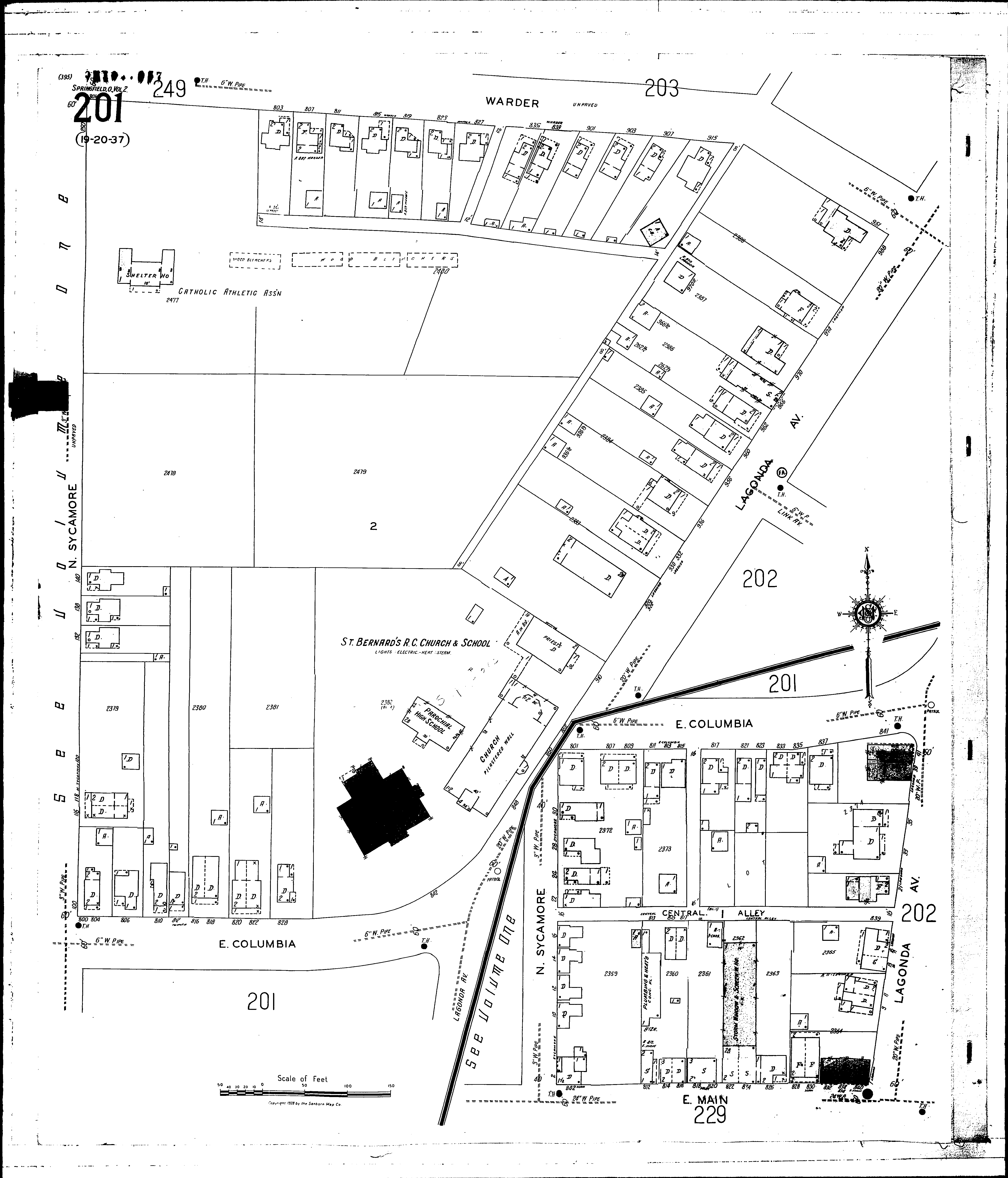
Locations: St. Bernards R. C. Church & School
Streets: Main, E [800-840] Central Alley [800-839] Columbia, E [800-845] Lagonda Ave [1-41] Lagonda Ave [838-988] Main, E [800-834] Sycamore, N [2-250] Warder [801-951]