County:
Clark Co.
City:
Springfield
Date:
1928-Aug. 1950 vol. 2, 1928-Aug. 1950
Currently viewing image:
8 of 96
Previous
-
Next
Current sheet label:
203
Jump to sheet label:
Print map from PDF
Download full image
Download current view
A
full color archival version
of this map is available from the Kent State University Institutional Repository.
Locations:
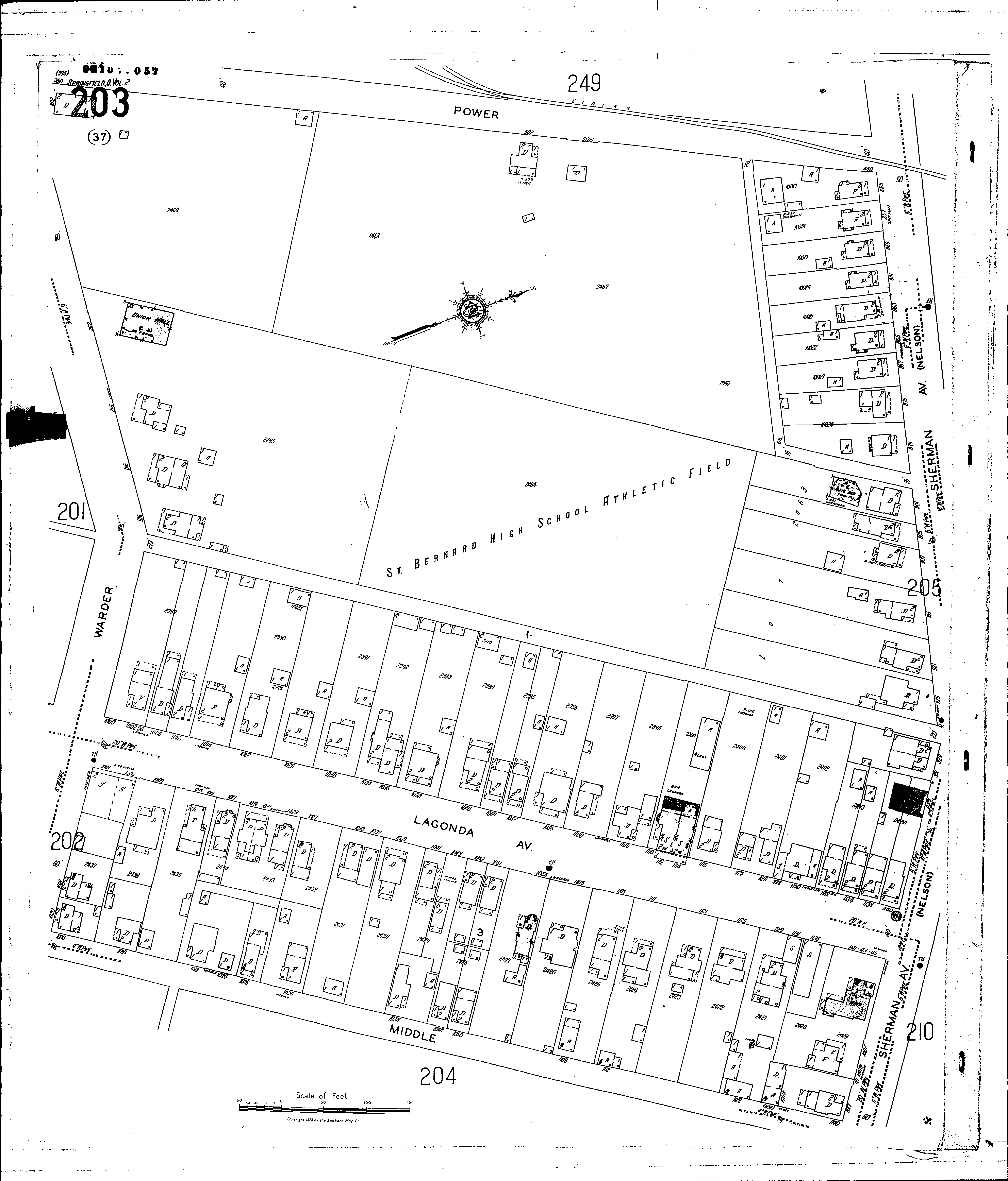
St. Bernards High School
Streets:
Lagonda Ave [1000-1141]
Middle [1000-1140]
Sherman Ave [855-1017]
Warder [800-1020]