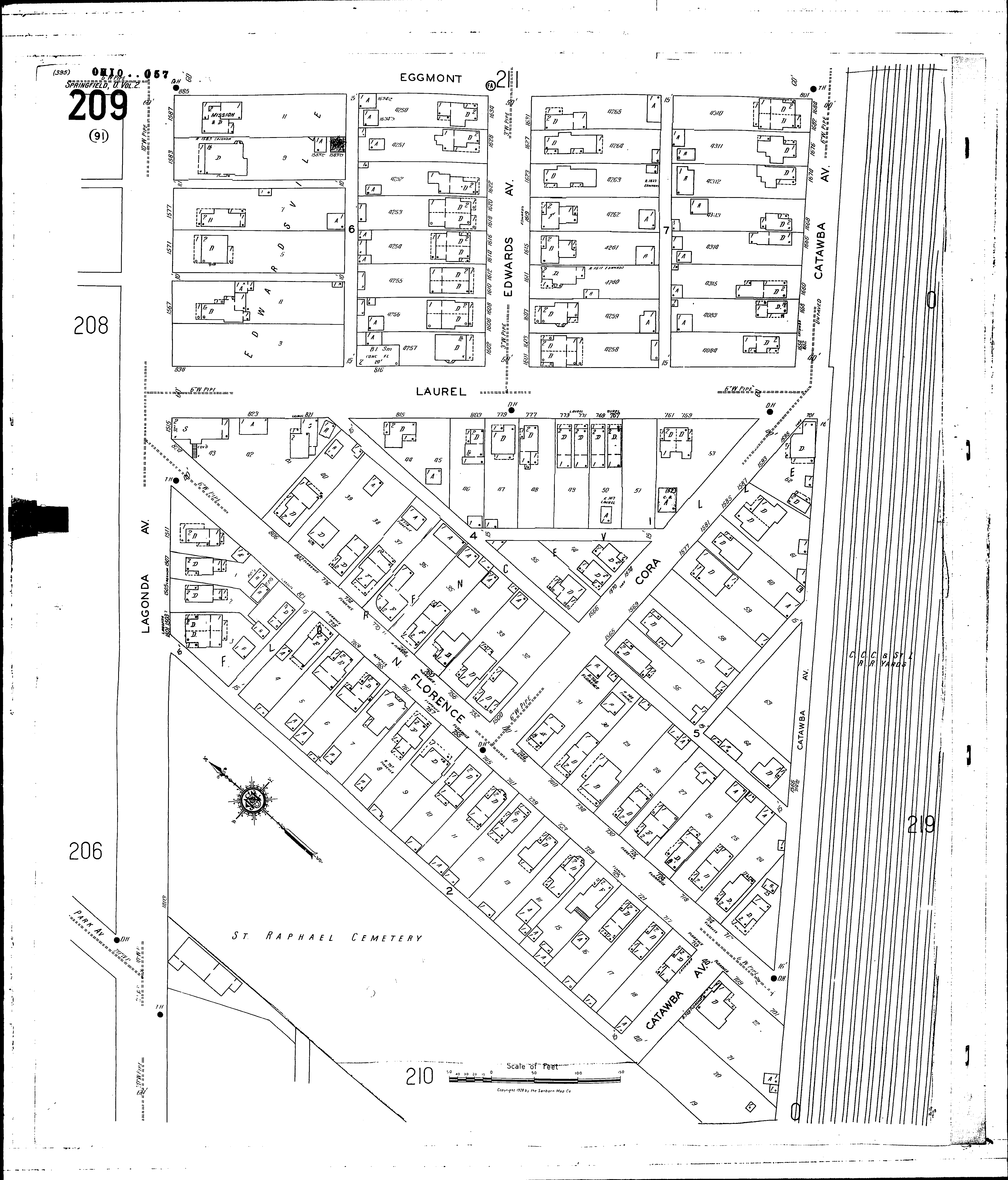
County: Clark Co.
City: Springfield
Date: 1928-Aug. 1950 vol. 2, 1928-Aug. 1950
Currently viewing image: 14 of 96
Previous -
NextCurrent sheet label: 209
Print map from PDF
Download full image
Download current view
A
full color archival version of this map is available from the Kent State University Institutional Repository.
Streets:Catawba Ave [1500-1685]
Cora [1500-1595]
Edwards Ave [1600-1631]
Eggmont [801-885]
Florence, N [700-825]
Lagonda Ave [1403-1587]
Laurel [700-839]
Additions:Florenceville