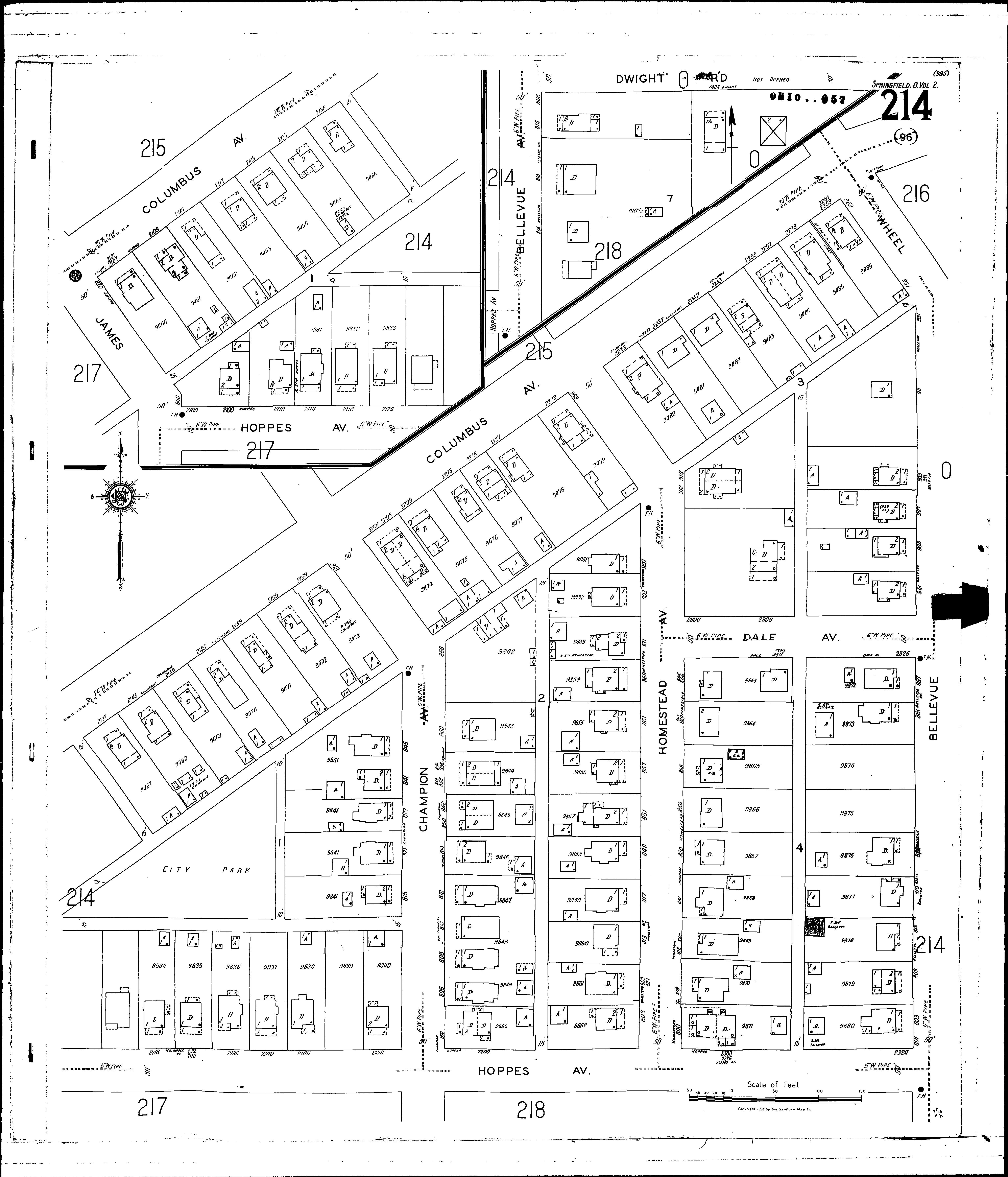
County: Clark Co.
City: Springfield
Date: 1928-Aug. 1950 vol. 2, 1928-Aug. 1950
Currently viewing image: 19 of 96
Previous -
NextCurrent sheet label: 214
Print map from PDF
Download full image
Download current view
A
full color archival version of this map is available from the Kent State University Institutional Repository.
Streets:Bellevue Ave [801-809]
Bellevue Ave [810-937]
Champion Ave [800-883]
Columbus Ave [2101-2259]
Dale Ave [2300-2325]
Dwight Road
Homestead Ave [800-963]
Hoppes Ave [2100-2324]
James [800-820]
Wheel [951-963]