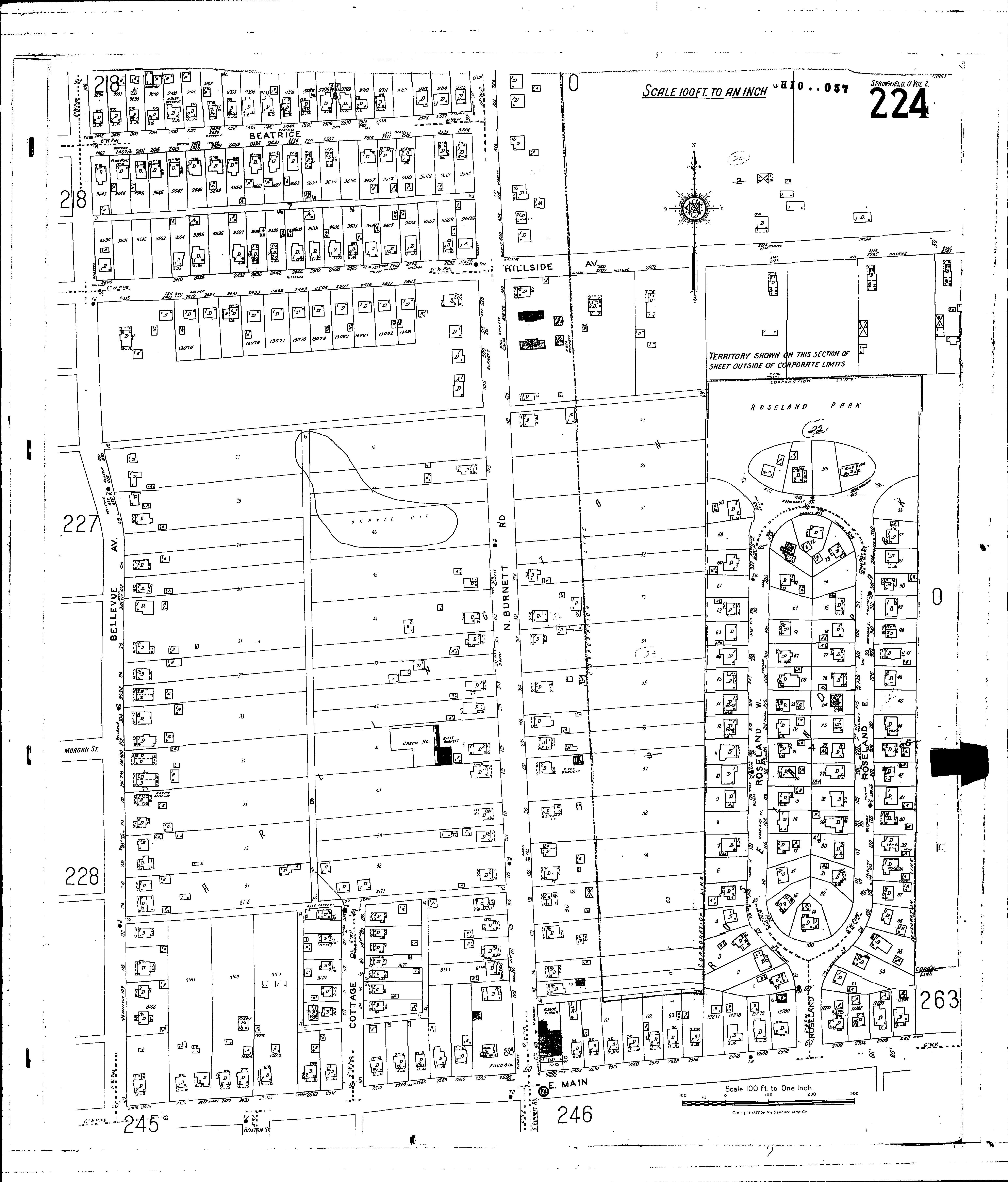
County: Clark Co.
City: Springfield
Date: 1928-Aug. 1950 vol. 2, 1928-Aug. 1950
Currently viewing image: 29 of 96
Previous -
NextCurrent sheet label: 224
Print map from PDF
Download full image
Download current view
A
full color archival version of this map is available from the Kent State University Institutional Repository.
Streets:Hillside Ave [2716-2727]
Beatrice [2400-2537]
Bellevue Ave [100-708]
Burnett Road, N [100-701]
Cottage Ave [100-127]
Hillside Ave [2400-2715]
Main, E [2400-2714]
Roseland [1-14]
Roseland, East [15-320]
Roseland, West [15-320]
Warder [1052-1260]
Additions:Arlington
Roseland Park