A full color archival version of this map is available from the Kent State University Institutional Repository.
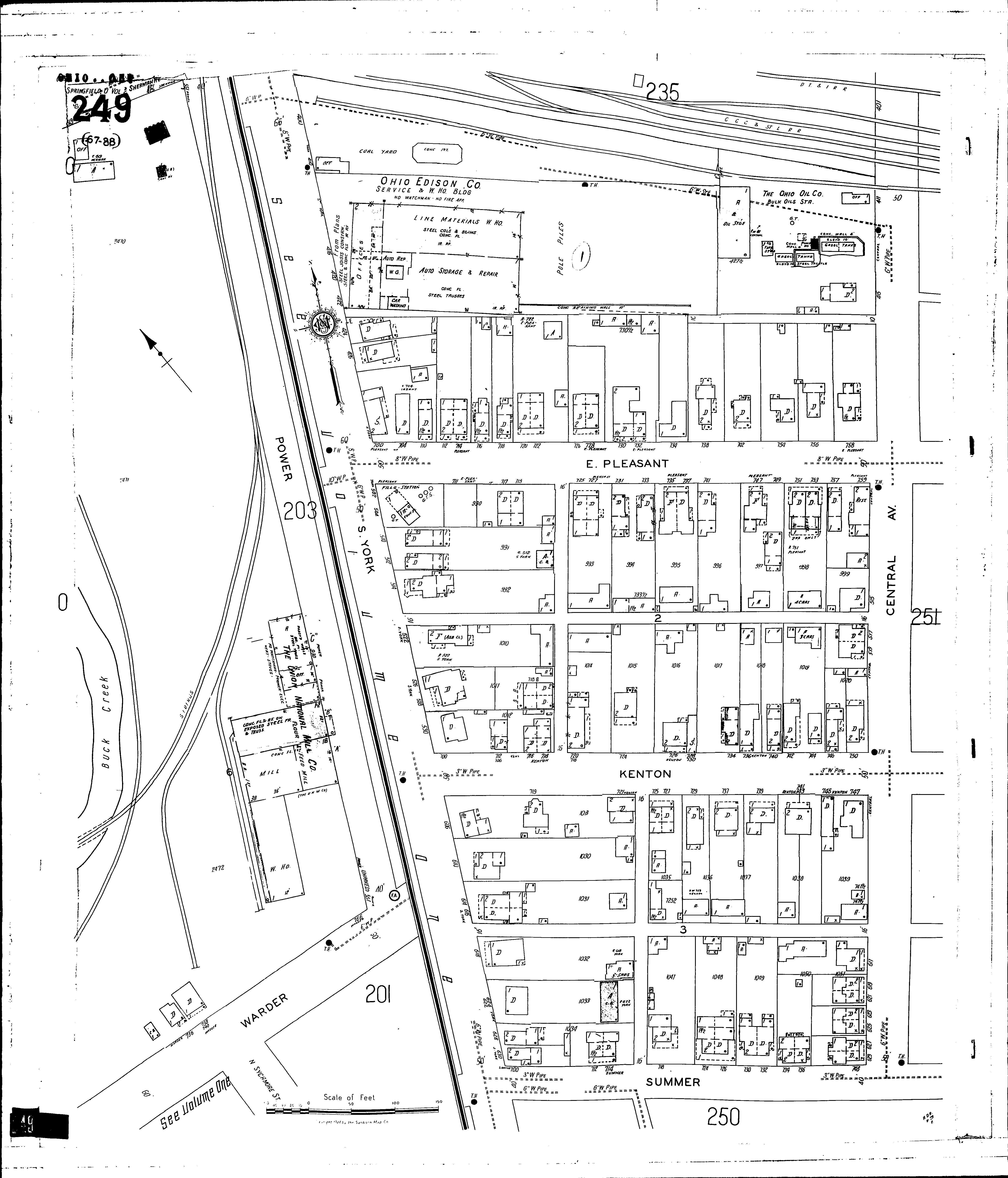
Locations: Farm Bureau Co-operative Asson, Petroleum Products and Feed Ohio Edison Co., Service and Wareho. Building Ohio Oil Co., Oil Depot Union National Mill Co American Seeding Machine Co Clark County Oil Co Halley Coal Co McGaw Oil Co Springfield Railway Co., The: Power Plant
Streets: Central Ave [401-629] Kenton [700-751] Pleasant, E [700-759] Power Sherman Ave [827-831] Summer [700-746] Warder [736-750] York, S [400-630]