County: Clark Co.
City: Springfield
Date: 1928-Aug. 1950 vol. 2, 1928-Aug. 1950
Currently viewing image: 59 of 96
Previous -
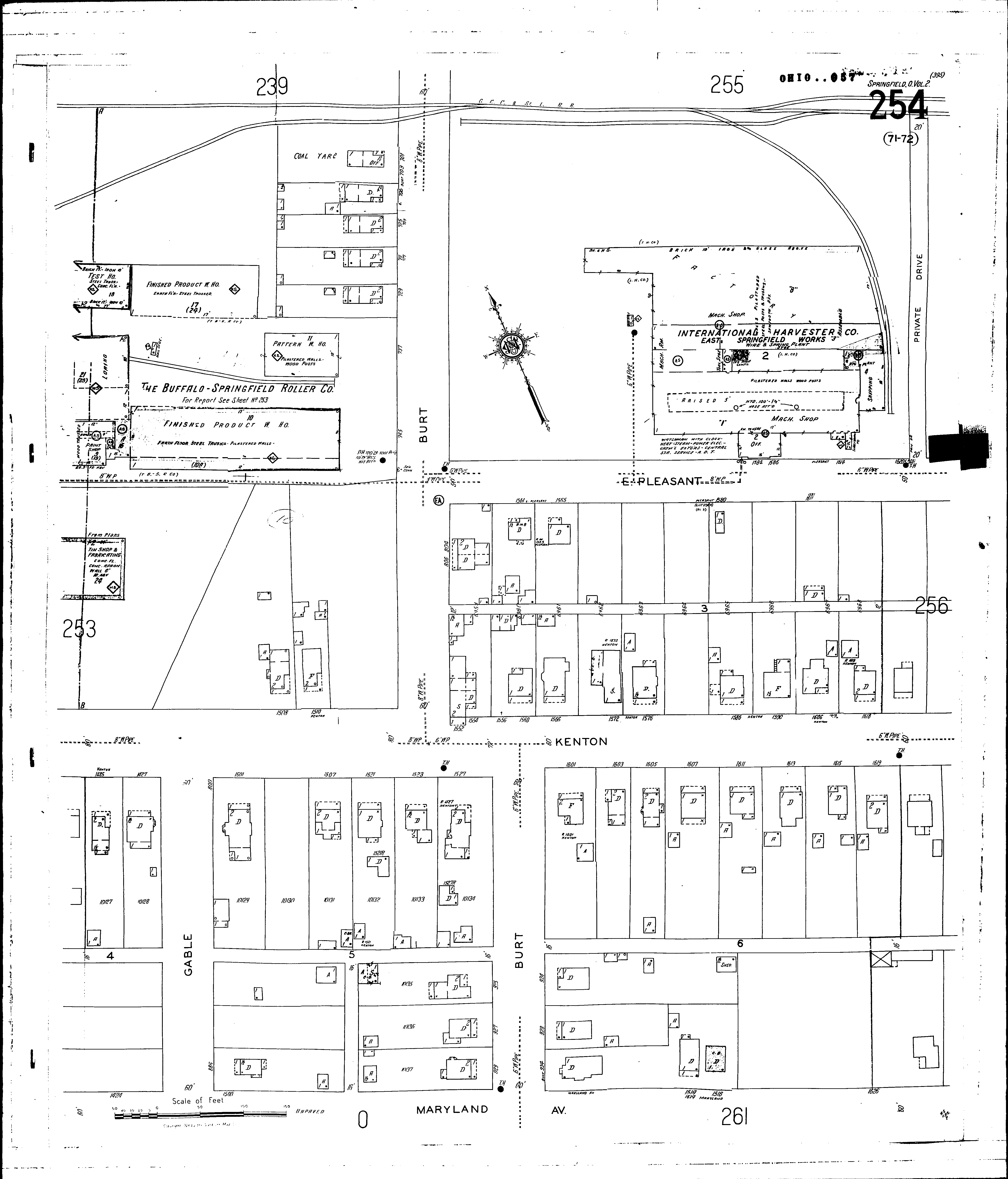
NextCurrent sheet label: 254
Print map from PDF
Download full image
Download current view
A
full color archival version of this map is available from the Kent State University Institutional Repository.
Locations:International Harvester Co.: Wire and Spring Plant
Springfield Spring Co., The
Streets:Burt [700-929]
Gable [800-887]
Kenton [1424-1619]
Maryland Ave [1424-1626]
Pleasant, E [1560-1611]
Pleasant, E [1612-1620]