County: Clark Co.
City: Springfield
Date: 1928-Aug. 1950 vol. 2, 1928-Aug. 1950
Currently viewing image: 71 of 96
Previous -
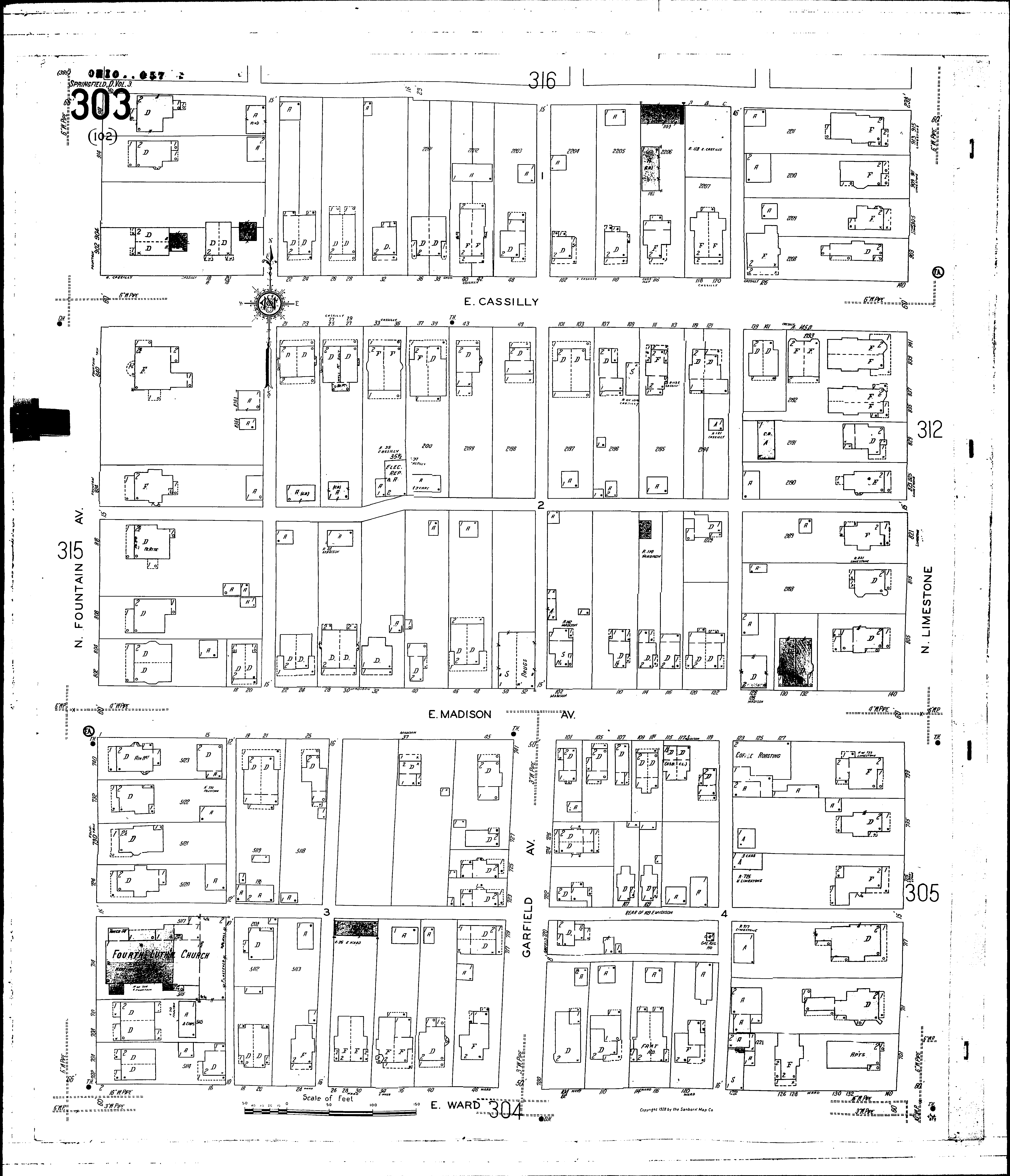
NextCurrent sheet label: 303
Print map from PDF
Download full image
Download current view
A
full color archival version of this map is available from the Kent State University Institutional Repository.
Locations:Fourth Lutheran Church
Streets:Cassilly, E [1-140]
Fountain Ave., N [702-918]
Garfield Ave [700-741]
Limestone, N [701-915]
Madison Ave., E [1-140]
Ward, E [2-140]