A full color archival version of this map is available from the Kent State University Institutional Repository.
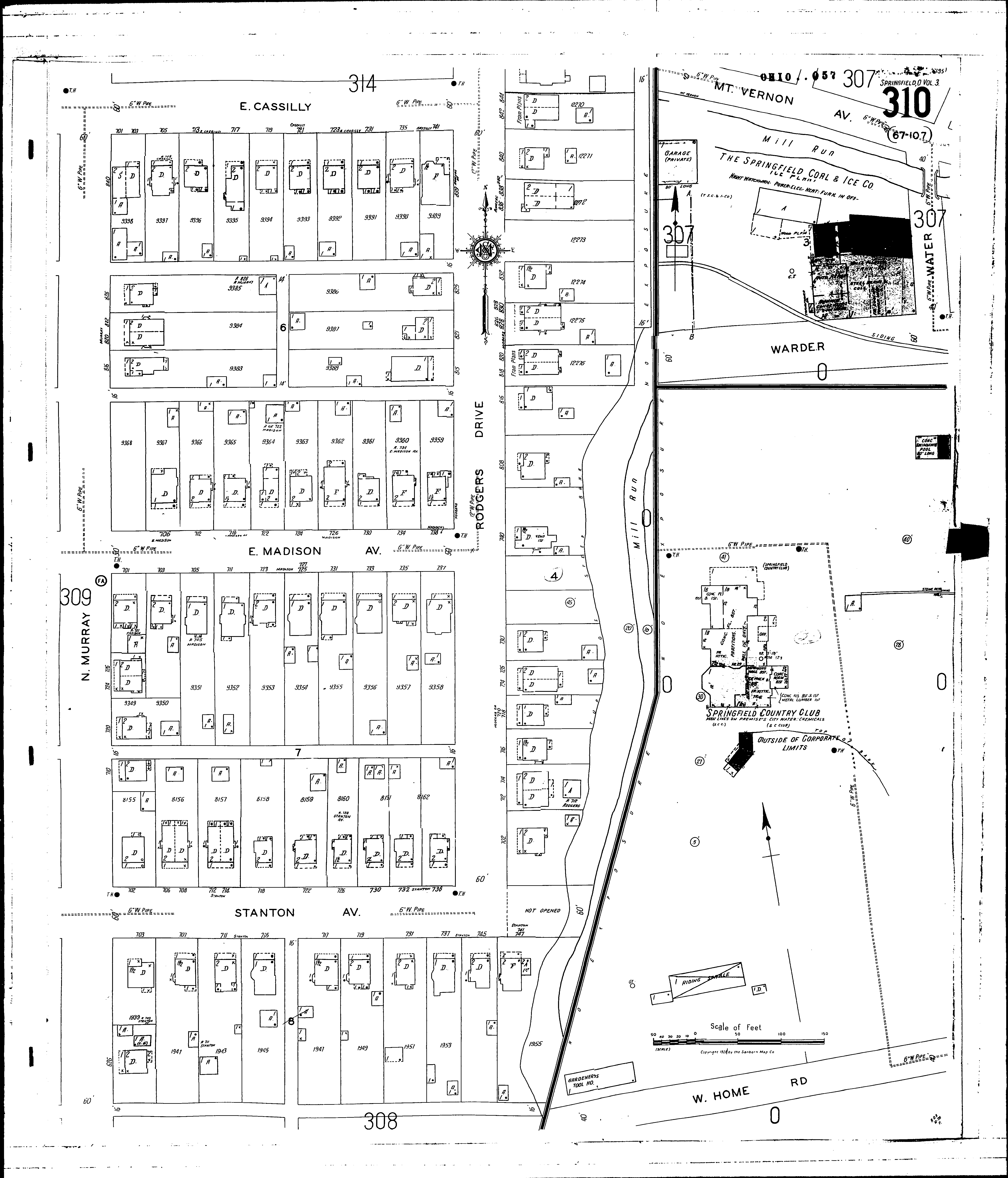
Locations: Springfield Coal and Ice Co., The Springfield Country Club
Streets: Cassilly, E [701-741] Home Road, W [near Spring. Country Club] Madison Ave., E [700-739] Mt. Vernon Ave [503-529] Murray, N [626-848] Rodgers Drive [700-845] Stanton Ave [700-745] Warder [504-530]