A full color archival version of this map is available from the Kent State University Institutional Repository.
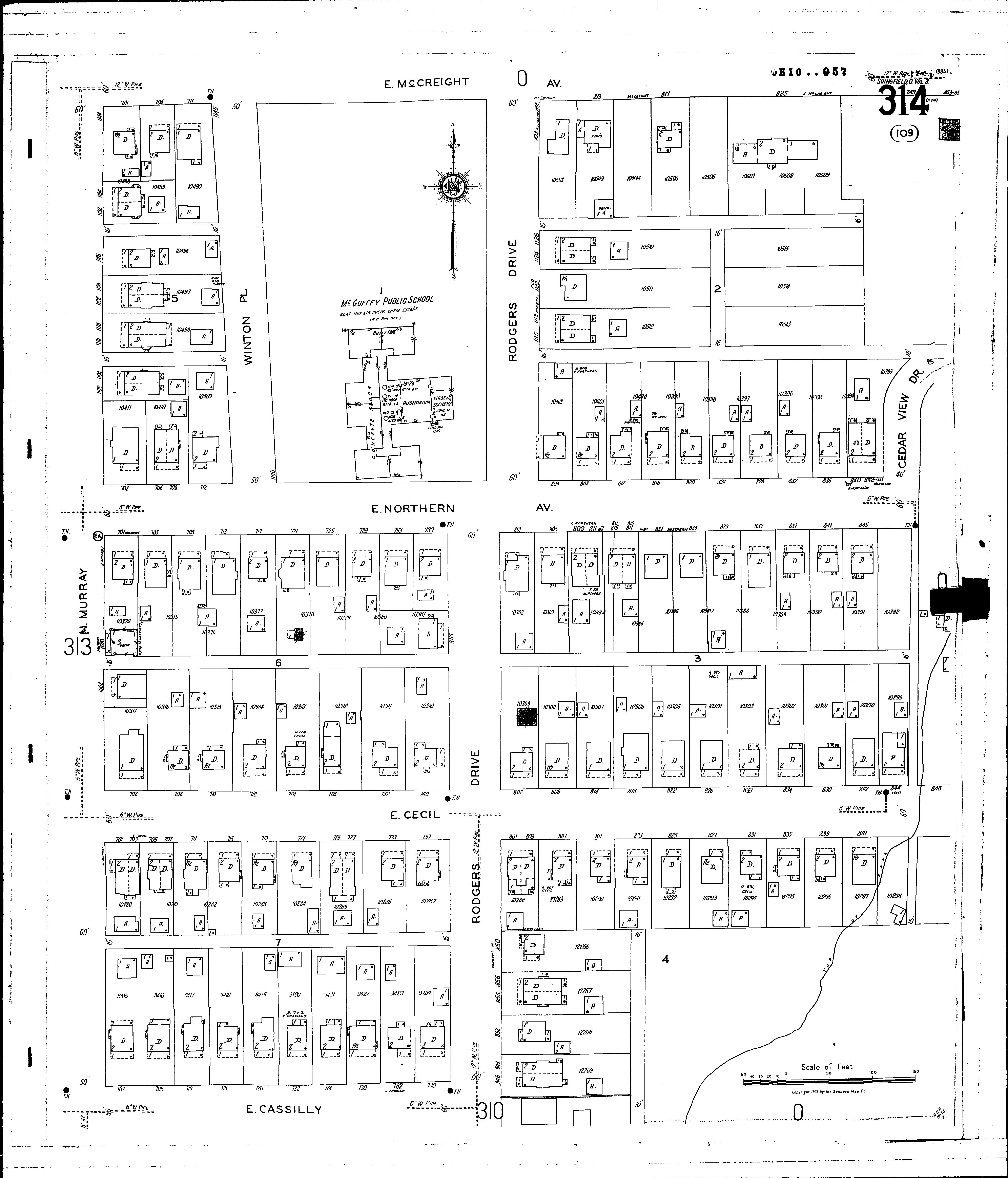
Locations: McGuffey Public School Northern Heights Public School
Streets: Cedar View Drive Winton Place [1100-1145] Cassilly, E [700-740] Cecil, E [700-849] McCreight Ave., E [701-849] Murray, N [900-1144] Northern Ave., E [700-851] Rodgers Drive [846-1145] Winton [1100-1145]