A full color archival version of this map is available from the Kent State University Institutional Repository.
Locations: Wittenberg College
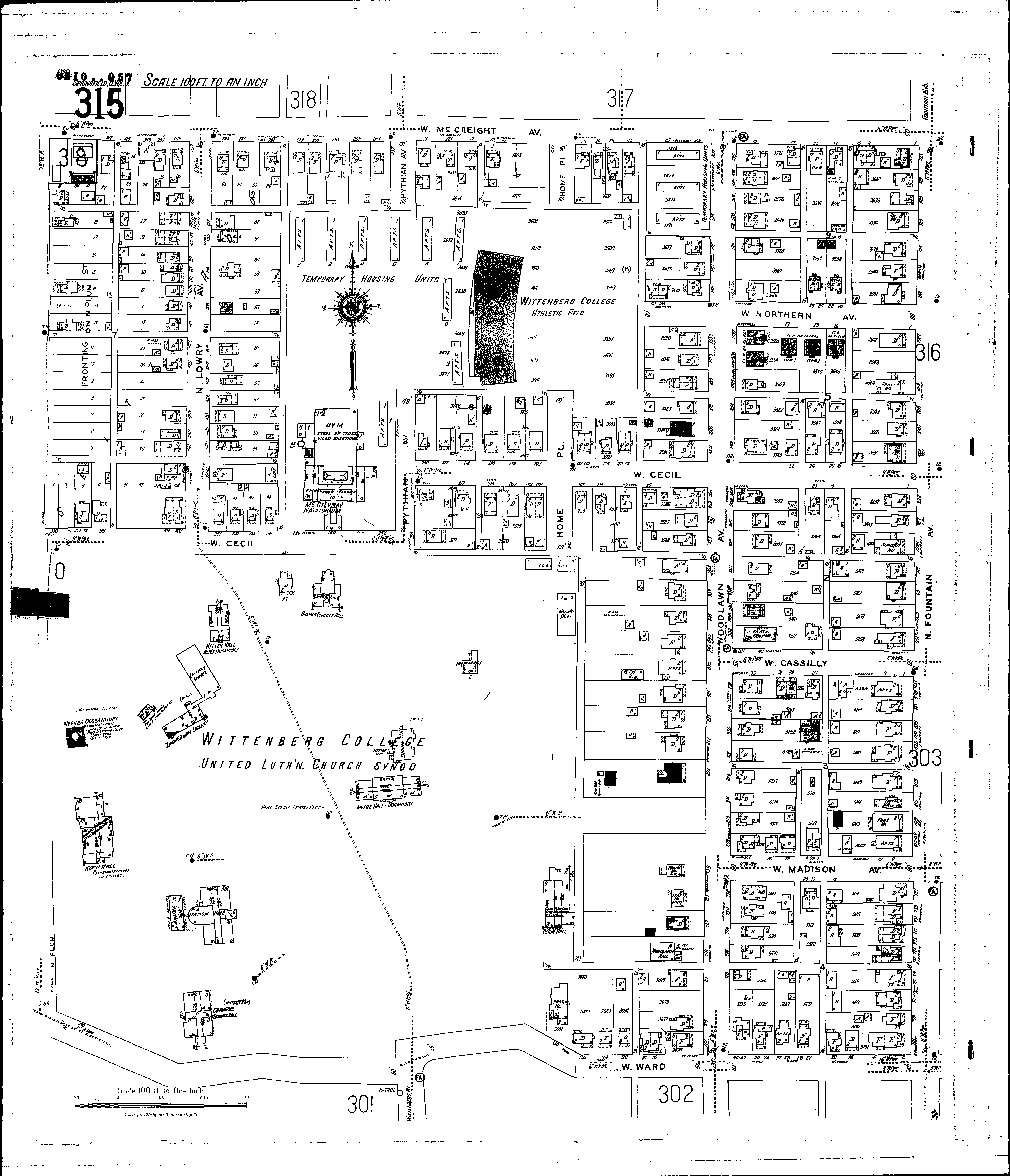
Streets: Cassilly, W [1-30] Cecil, W [1-330] Fountain Ave., N [701-1133] Home Place [954-1137] Lowry Ave., N [1000-1137] McCreight Ave., W [1-319] Madison Ave., W [1-36] Northern Ave., W [1-116] Plum, N [1100-1132] Pythian Ave [954-1137] Ward, W [2-330] Woodlawn Ave [700-1137]