A full color archival version of this map is available from the Kent State University Institutional Repository.
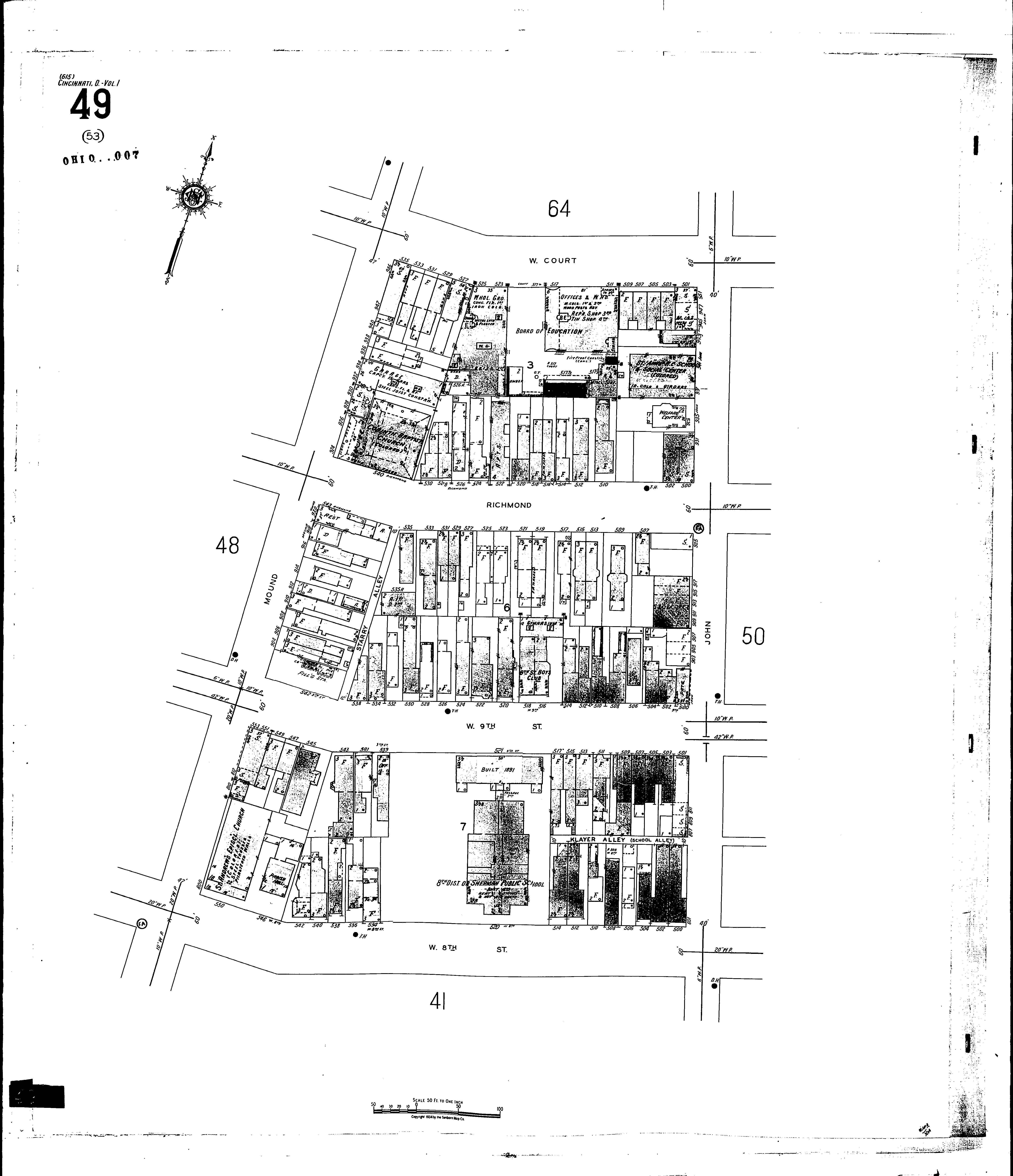
Locations: Corinth Baptist Church (col.) Ninth Street Boys Club St. Anns R. C. School & Social Center (col.) Board of Education Eighth District Public School Love Brothers Synagogue Newsboys Protective Asson, Club House St. Andrews Episcopal Church (Colored) St. Anns R. C. Church and School (Colored) Sherman Public School
Streets: Court, W [501-535] Eighth, W [500-552] John [801-951] Klayer Alley Mound [800-946] Ninth, W [500-553] Richmond [500-545] School Alley Starry Alley