County: Hamilton Co.
City: Cincinnati
Date: 1904-June 1950 vol. 1,1934-Apr. 1950
Currently viewing image: 60 of 88
Previous -
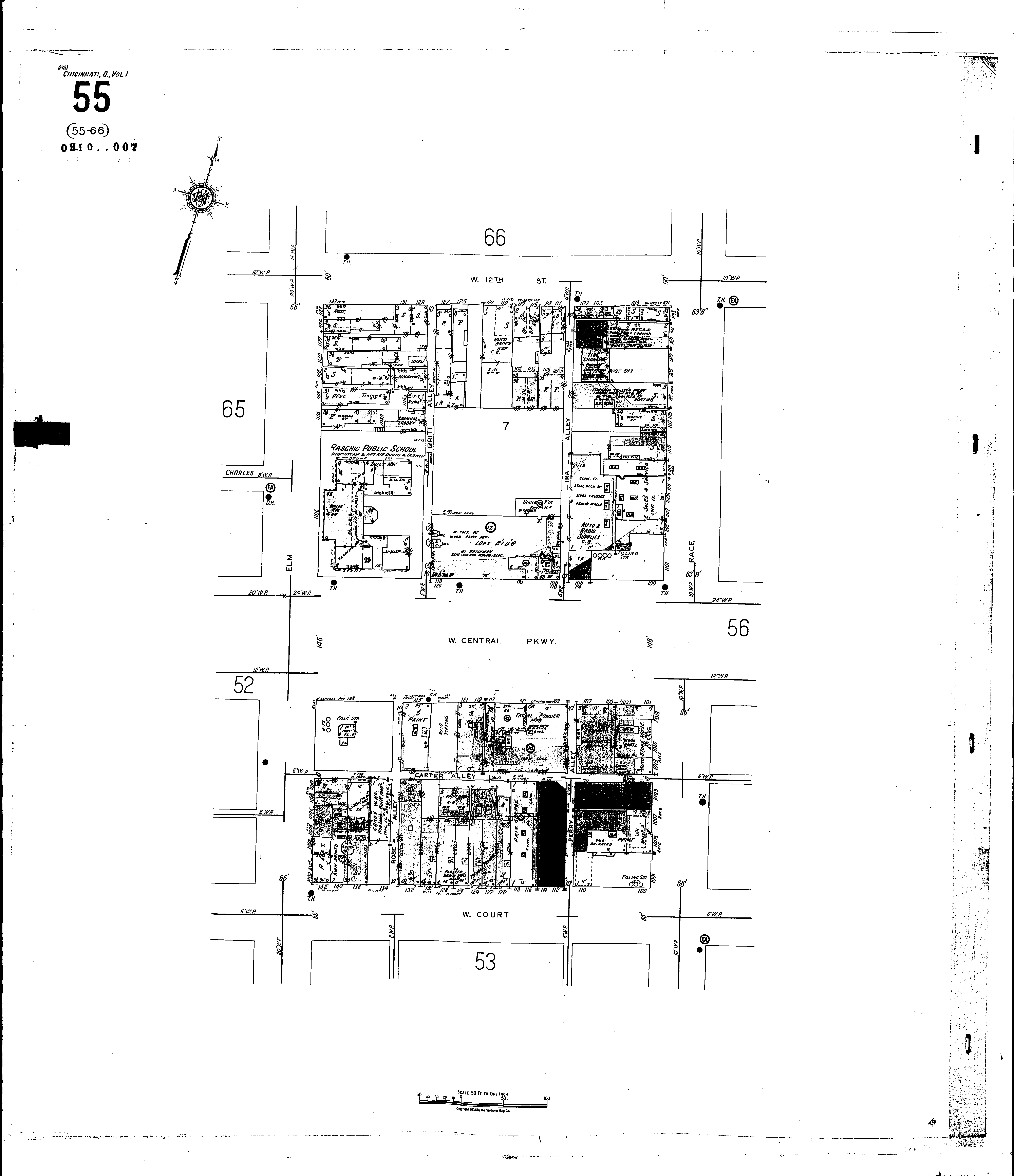
NextCurrent sheet label: 55
Jump to sheet label:
Print map from PDF
Download full image
Download current view
A
full color archival version of this map is available from the Kent State University Institutional Repository.
Locations:Puritan Block
Raschig Public School
Strobridge Lithographing Co
Streets:Britt Alley
Central Parkway, W [100-139]
Court, W [100-142]
Elm [1000-1126]
Ira Alley
Race [1001-1133]
Twelfth, W [101-137]