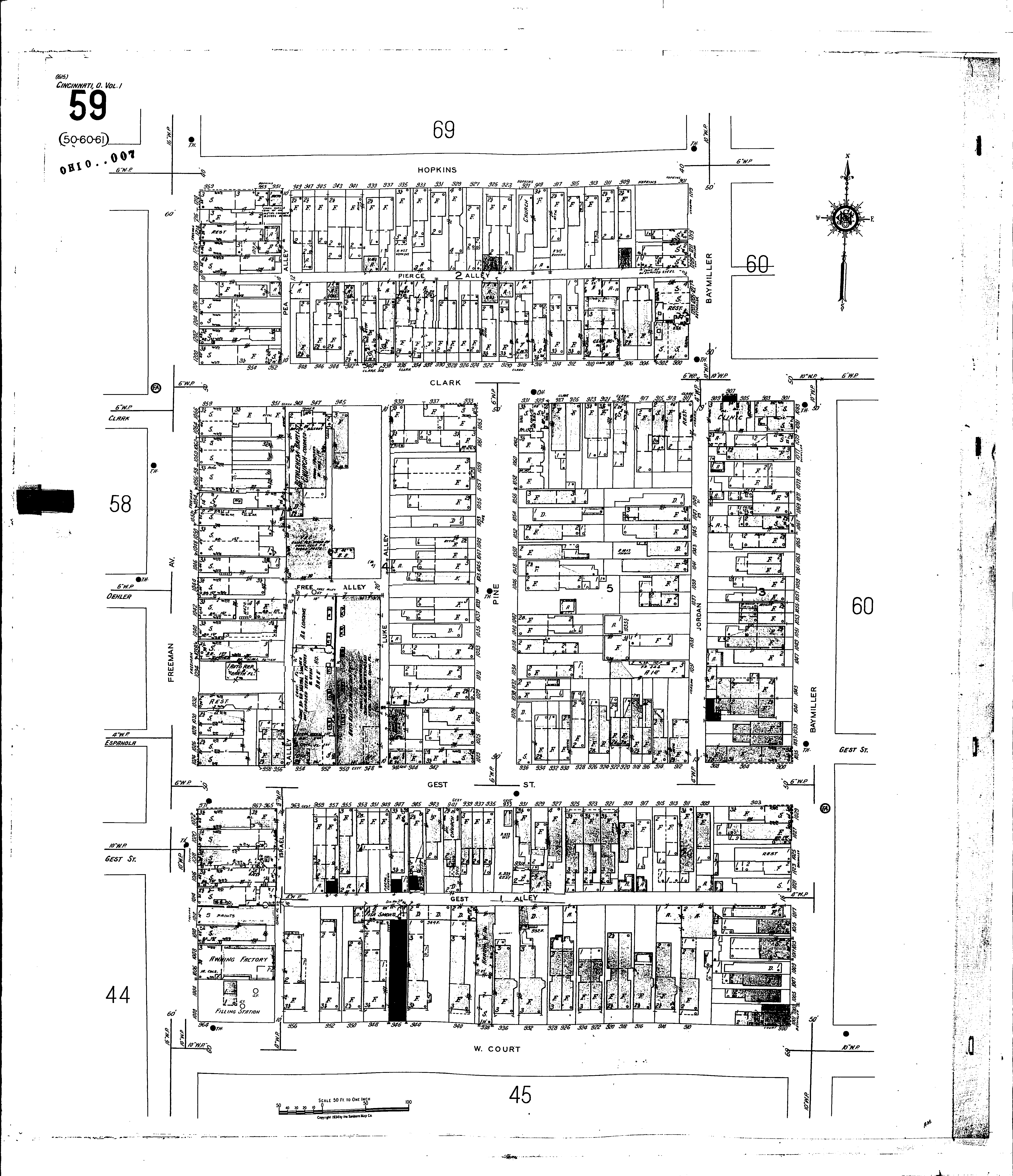
A full color archival version of this map is available from the Kent State University Institutional Repository.
Locations: Bethlehem Baptist Church (col.) St. Marks Evangelical Lutheran Church
Streets: Baymiller [1001-1219] Clark [900-959] Court, W [900-964] Free Alley Freeman Ave [1000-1226] Gest [900-971] Gest, Alley Hopkins [901-959] Israel Alley Jordan Luke Alley Pea Alley Pierce Alley Pine