A full color archival version of this map is available from the Kent State University Institutional Repository.
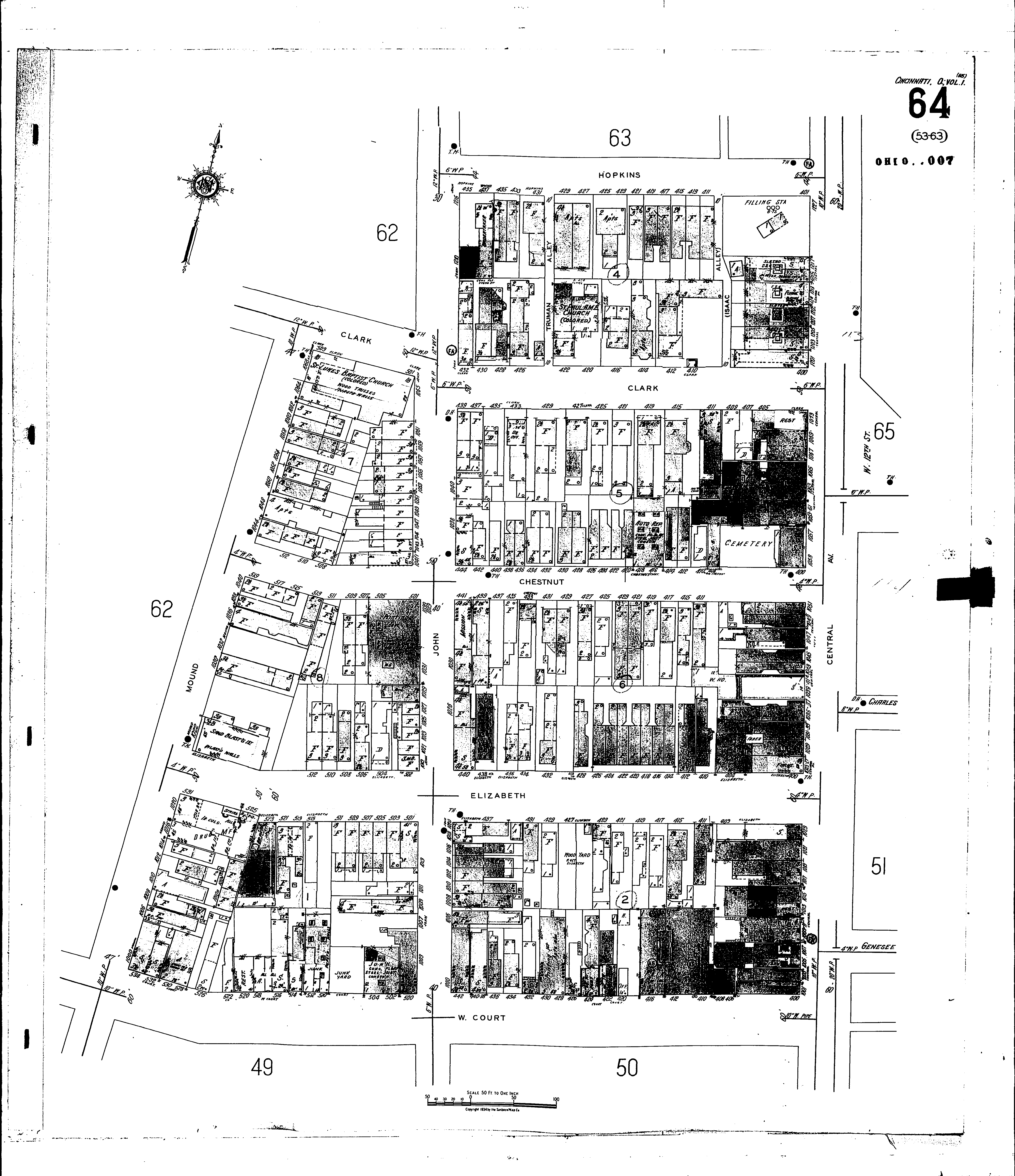
Locations: St. Luke Baptist Church (col.) St. Paul A. M. Church (col.) Labor Auditorium Synagogue, 420 Clark St Welfare Station
Streets: Central Ave [1001-1227] Chestnut [400-519] Clark [400-439] Clark [501-509] Court, W [400-534] Elizabeth [400-531] Hopkins [401-439] John [1000-1065] John [1200-1216] Mound [1000-1068] Truman Alley