A full color archival version of this map is available from the Kent State University Institutional Repository.
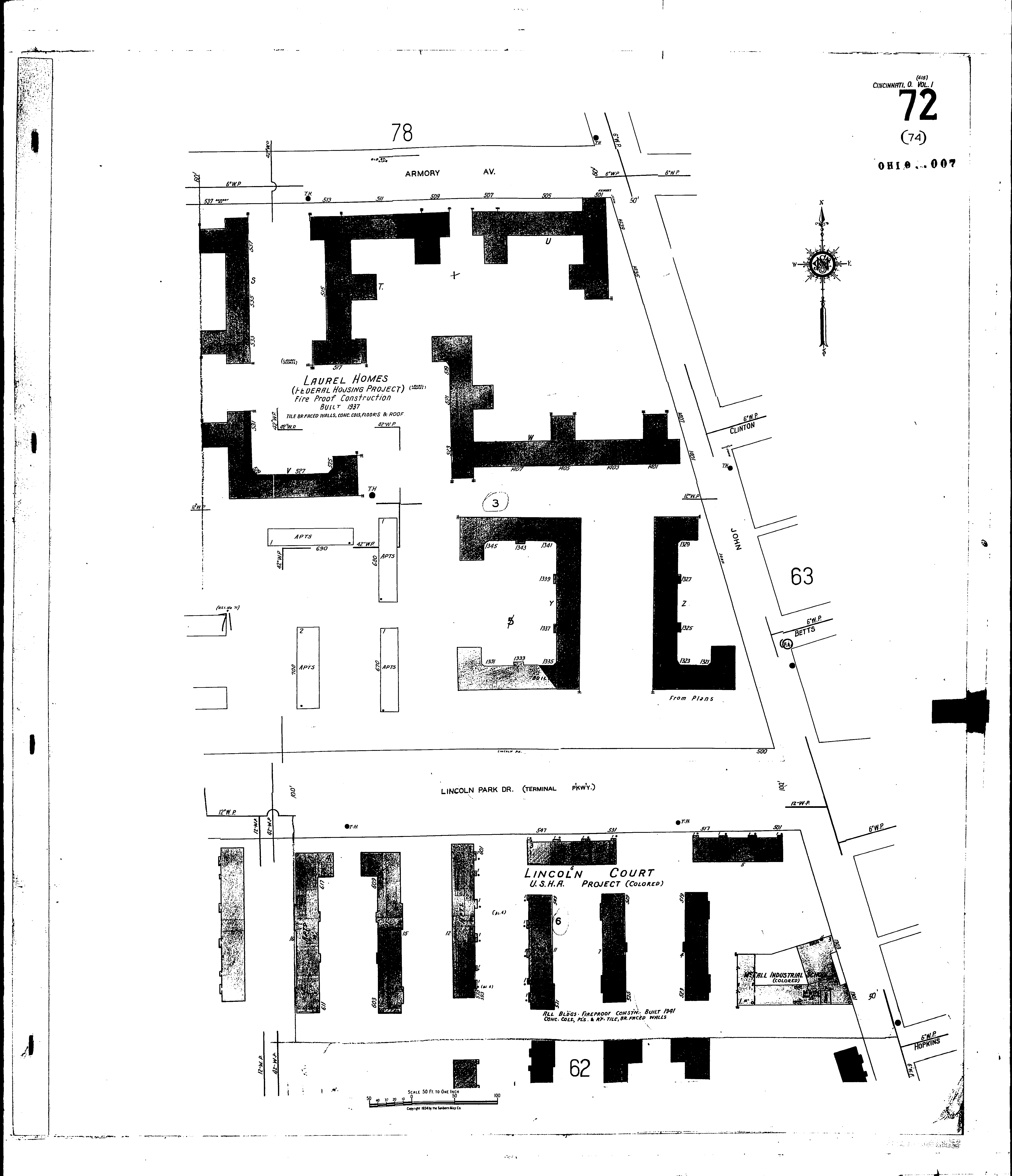
Locations: McCall Industrial School (Colored) St. Paul A. M. E. Church
Streets: Lincoln Park Drive [500-559] Armory Ave [501-537] Betts [500-557] Clinton [500-549] Cutter [1300-1438] Geneva Court Hopkins [500-564] John [1301-1443] Scott Scott Alley Terminal Parkway [500-559]