County: Hamilton Co.
City: Cincinnati
Date: 1904-June 1950 vol. 1,1934-Apr. 1950
Currently viewing image: 86 of 88
Previous -
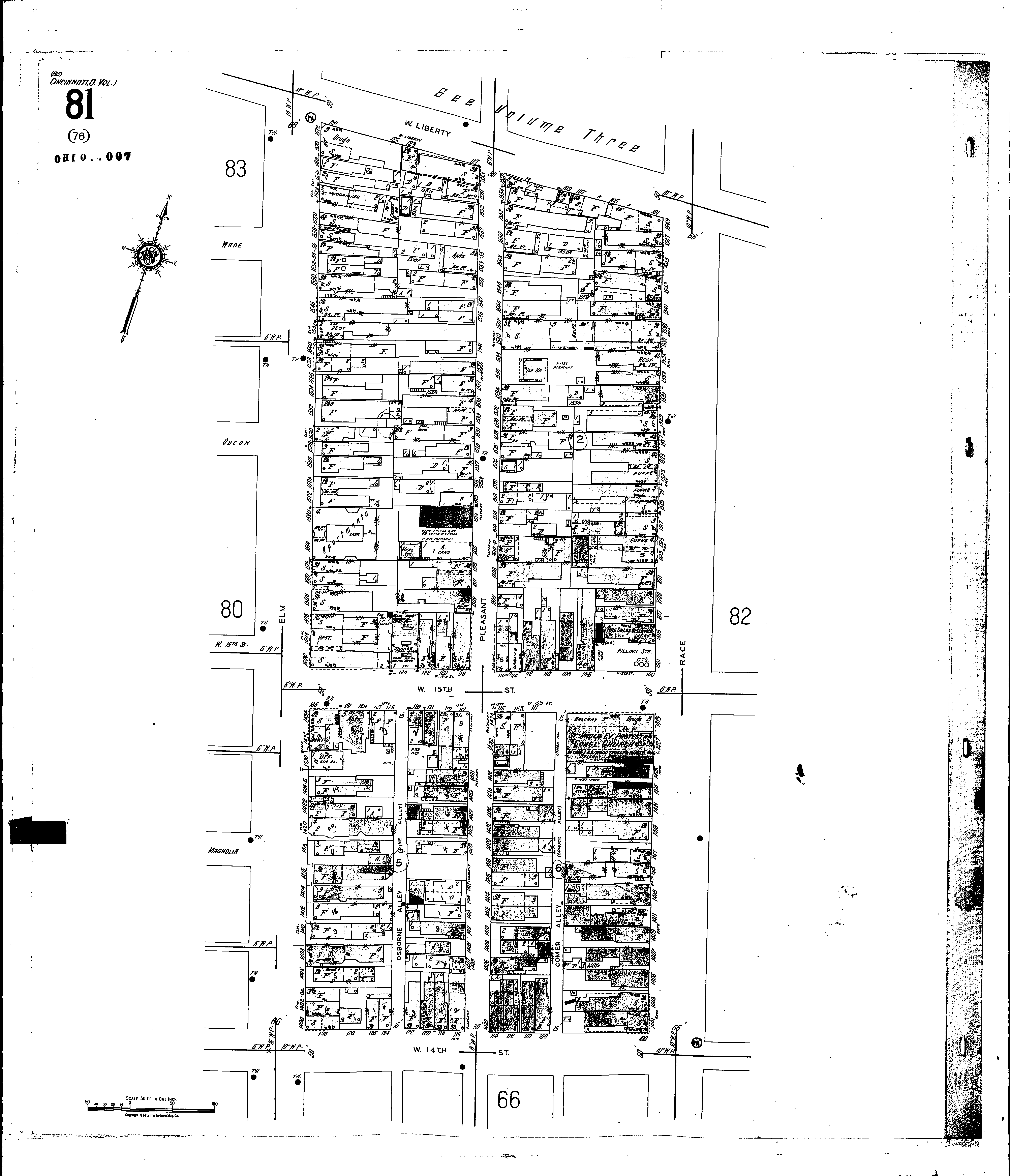
NextCurrent sheet label: 81
Jump to sheet label:
Print map from PDF
Download full image
Download current view
A
full color archival version of this map is available from the Kent State University Institutional Repository.
Locations:St. Pauls Evangelical Protestant Congl Church
Streets:Elm [1400-1572]
Fifteenth, W [100-135]
Fourteenth, W [100-136]
Liberty, W [101-135]
Pleasant [1400-1563]
Race [1401-1549]